ملف:Camp Fork at English.jpg
حجم هذه المعاينة: 800 × 600 بكسل. البعدان الآخران: 2٬560 × 1٬920 بكسل | 2٬816 × 2٬112 بكسل.
الملف الأصلي (2٬816 × 2٬112 بكسل حجم الملف: 3٫12 ميجابايت، نوع MIME: image/jpeg)
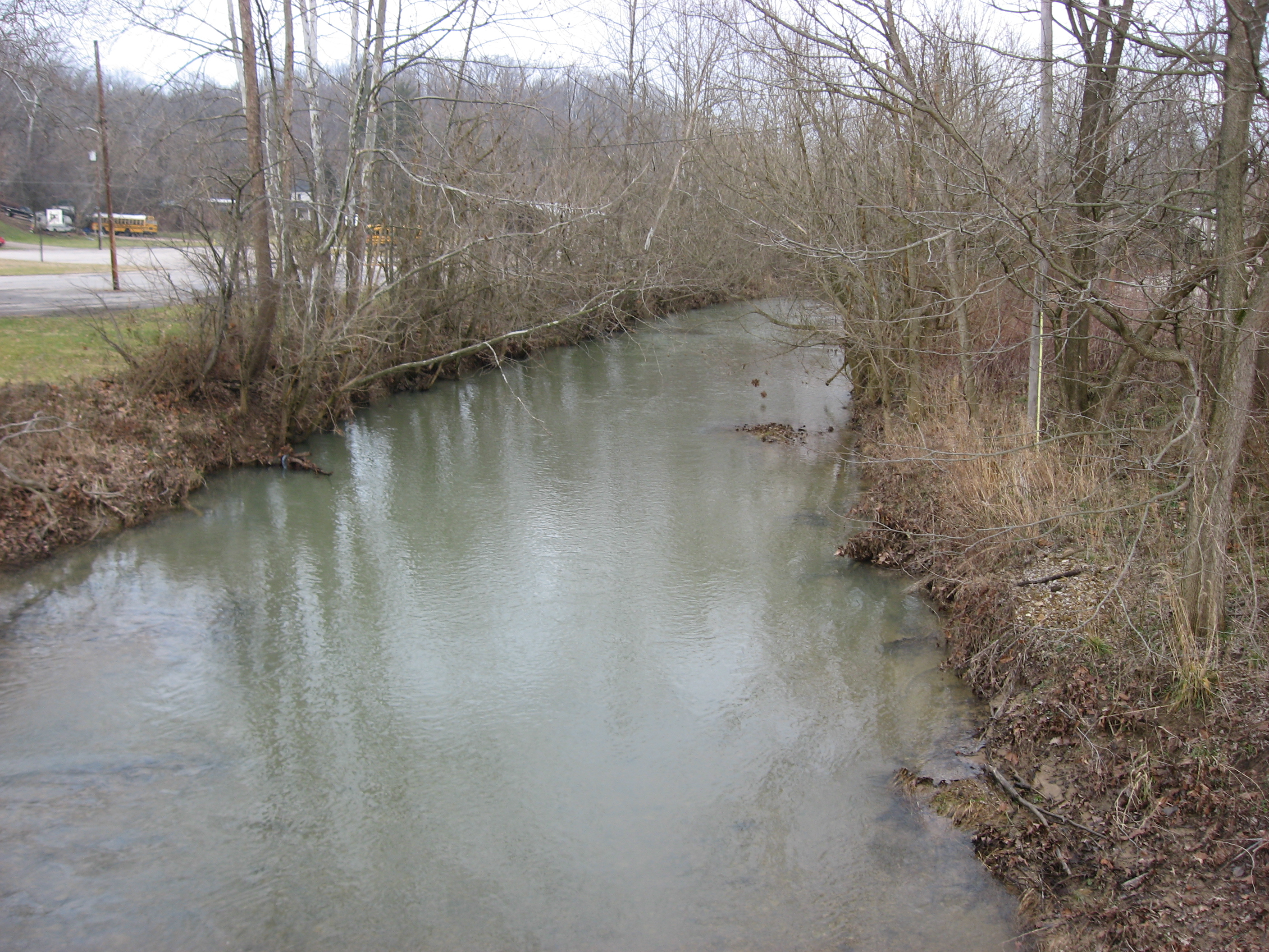
38°20′1″N 86°27′49″W / 38.33361°N 86.46361°W
| ⧼wm-license-information-description⧽ |
English: Looking upstream from the Main Street bridge over the Camp Fork of the Little Blue River in English, Indiana, United States. Because the town was built on a piece of flat land around the confluence of the Camp Fork and multiple other tributaries of the Little Blue River, it flooded many times and was finally relocated almost completely onto higher ground in the 1990s.
|
||
| ⧼wm-license-information-date⧽ | قالب:Taken on | ||
| ⧼wm-license-information-source⧽ | ⧼Wm-license-own-work⧽ | ||
| ⧼wm-license-information-author⧽ | Nyttend | ||
| ⧼wm-license-information-permission⧽ (⧼wm-license-information-permission-reusing-text⧽) |
|
تاريخ الملف
اضغط على زمن/تاريخ لرؤية الملف كما بدا في هذا الزمن.
| زمن/تاريخ | صورة مصغرة | الأبعاد | مستخدم | تعليق | |
|---|---|---|---|---|---|
| حالي | ★ مراجعة معتمدة 13:27، 7 أكتوبر 2023 | | 2٬816 × 2٬112 (3٫12 ميجابايت) | Pastakhov (نقاش | مساهمات) | Upload https://upload.wikimedia.org/wikipedia/commons/1/1d/Camp_Fork_at_English.jpg |
لا يمكنك استبدال هذا الملف.
وصلات
لا يوجد صفحات تصل لهذه الصورة.