ملف:Cairns Airport.JPG
حجم هذه المعاينة: 800 × 600 بكسل. البعد الآخر: 1٬600 × 1٬200 بكسل.
الملف الأصلي (1٬600 × 1٬200 بكسل حجم الملف: 375 كيلوبايت، نوع MIME: image/jpeg)
وصف قصير
| ⧼wm-license-information-description⧽ |
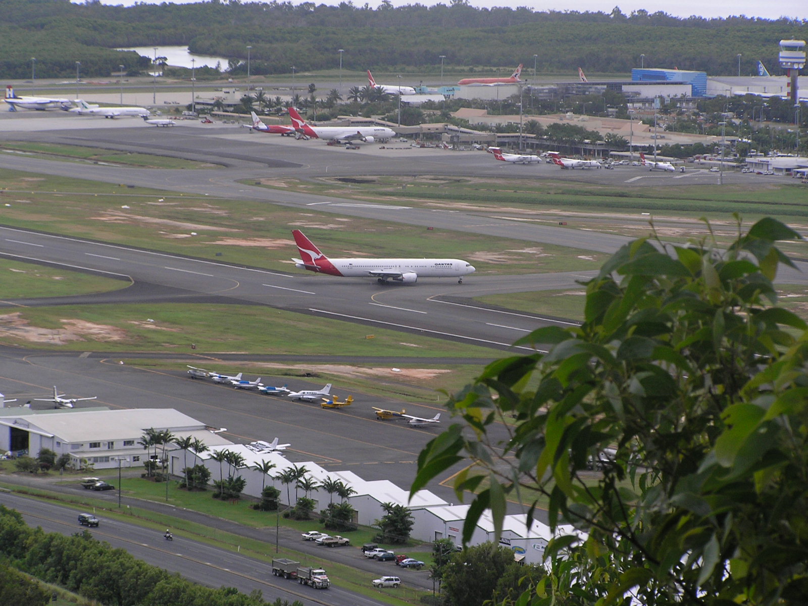
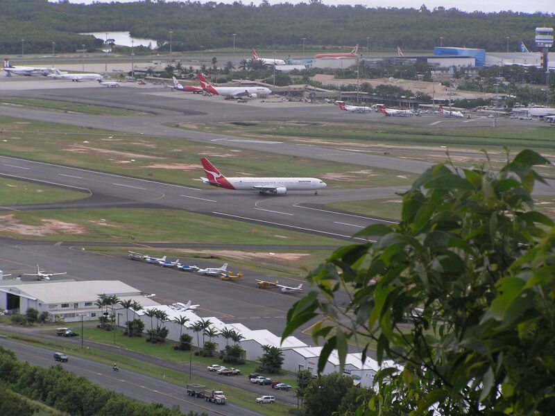
English: Cairns Airport looking north-east from a lookout on Mt. Whitfield. The en:Captain Cook Highway and en:General aviation area can be seen in foreground, with domestic and international terminals on the other side of the runway. Beyond the main terminal area is the Barron River, a en:mangrove swamp, and Trinity Bay in the en:Coral Sea.
|
| ⧼wm-license-information-date⧽ | 2005 (2005, according to Exif data) |
| ⧼wm-license-information-source⧽ | قالب:Transferred from |
| ⧼wm-license-information-author⧽ | قالب:Original uploader |
ترخيص
قالب:Original upload log
قالب:Original description page
- 2005-08-04 11:36 Adz 1600×1200×8 (383605 bytes) Cairns Airport looking east from a lookout on Mt. Whitfield. general aviation area can be seen in foreground, with domestic and international terminals to the eastern side of the main runway. Photo taken in July 2005. {{GFDL}}
تاريخ الملف
اضغط على زمن/تاريخ لرؤية الملف كما بدا في هذا الزمن.
| زمن/تاريخ | صورة مصغرة | الأبعاد | مستخدم | تعليق | |
|---|---|---|---|---|---|
| حالي | ★ مراجعة معتمدة 06:25، 15 ديسمبر 2023 | | 1٬600 × 1٬200 (375 كيلوبايت) | Pastakhov (نقاش | مساهمات) | Upload https://upload.wikimedia.org/wikipedia/commons/8/8f/Cairns_Airport.JPG |
لا يمكنك استبدال هذا الملف.
وصلات
لا يوجد صفحات تصل لهذه الصورة.