ملف:Bus stop in Beaufort Street, Chelsea (geograph 2745752).jpg
حجم هذه المعاينة: 800 × 600 بكسل. البعدان الآخران: 2٬560 × 1٬920 بكسل | 4٬000 × 3٬000 بكسل.
الملف الأصلي (4٬000 × 3٬000 بكسل حجم الملف: 3٫34 ميجابايت، نوع MIME: image/jpeg)
وصف قصير
| ⧼wm-license-information-description⧽ |
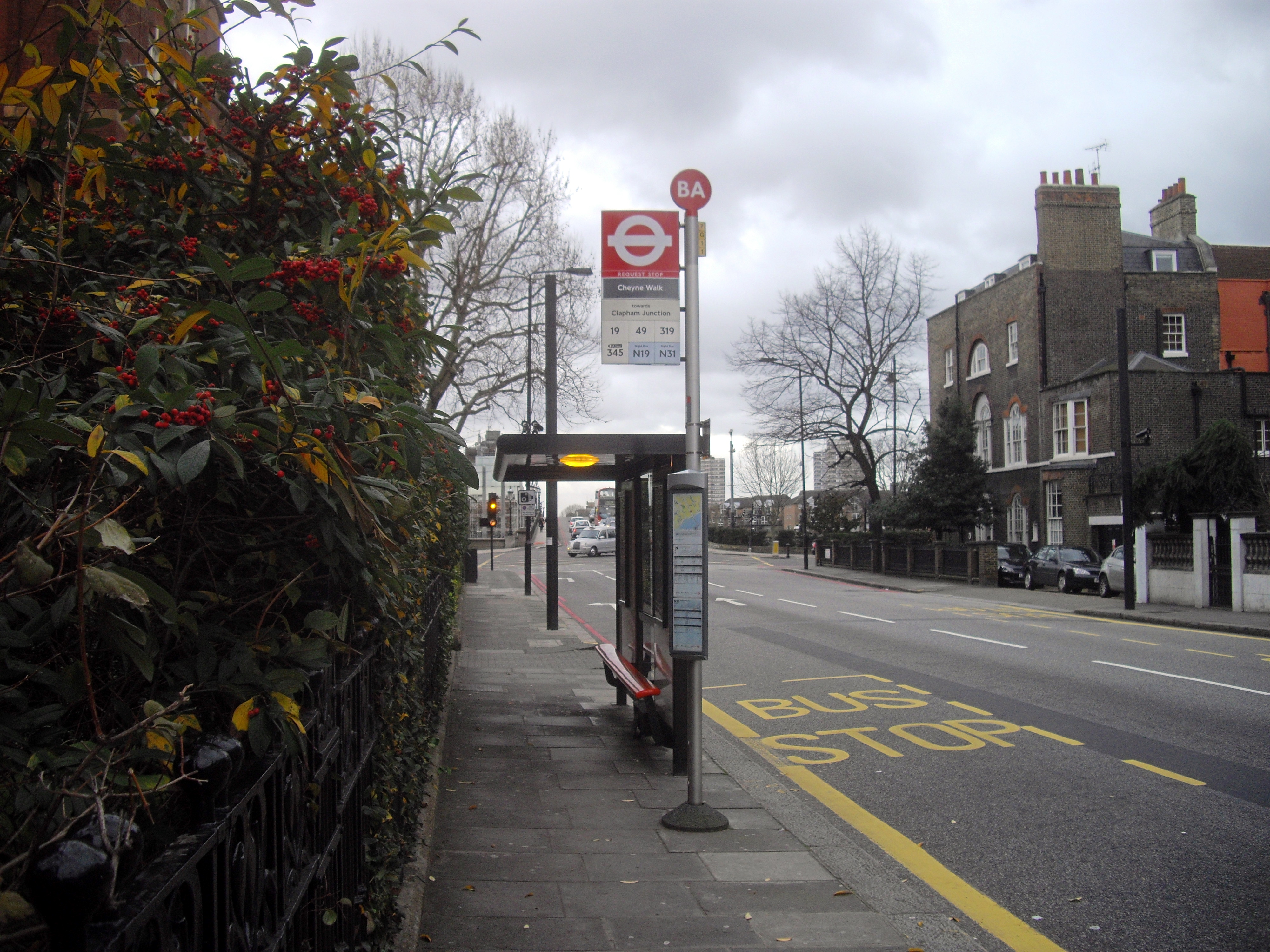
English: Bus stop in Beaufort Street, Chelsea
|
| ⧼wm-license-information-date⧽ | 2011 |
| ⧼wm-license-information-source⧽ | From geograph.org.uk |
| ⧼wm-license-information-author⧽ | PAUL FARMER |
| ⧼wm-license-information-permission⧽ (⧼wm-license-information-permission-reusing-text⧽) |
Creative Commons Attribution Share-alike license 2.0 |
| ⧼wm-license-cc-attribution⧽ (قالب:I18n/Credit line) |
PAUL FARMER / Bus stop in Beaufort Street, Chelsea / |
51°28′59″N 0°10′28″W / 51.482958°N 0.174583°W قالب:Object location
.jpg¶ms=51.482958_N_0.174583_W_source:geograph-osgb36(TQ26857758)_heading:135)
ترخيص
تاريخ الملف
اضغط على زمن/تاريخ لرؤية الملف كما بدا في هذا الزمن.
| زمن/تاريخ | صورة مصغرة | الأبعاد | مستخدم | تعليق | |
|---|---|---|---|---|---|
| حالي | ★ مراجعة معتمدة 05:17، 11 أكتوبر 2023 | | 4٬000 × 3٬000 (3٫34 ميجابايت) | Pastakhov (نقاش | مساهمات) | Upload https://upload.wikimedia.org/wikipedia/commons/2/2f/Bus_stop_in_Beaufort_Street%2C_Chelsea_%28geograph_2745752%29.jpg |
لا يمكنك استبدال هذا الملف.
وصلات
لا يوجد صفحات تصل لهذه الصورة.
معلومات الصورة (ميتا)
.jpg&oldid=3062026)
تصنيفات:
- Beaufort Street, Chelsea
- Bus stops in the Royal Borough of Kensington and Chelsea
- London Buses route 19 stops
- London Buses route 49 stops
- London Buses route 319 stops
- London Buses route 345 stops
- London Buses route N19 stops
- London Buses route N31 stops
- December 2011 in London
- 2011 in the Royal Borough of Kensington and Chelsea
- United Kingdom photographs taken on 2011-12-28
- Buildings in London photographed in 2011