ملف:Bullhead City, Arizona southern city limits sign (2012) (crop).jpg
حجم هذه المعاينة: 800 × 405 بكسل. البعد الآخر: 1٬416 × 716 بكسل.
الملف الأصلي (1٬416 × 716 بكسل حجم الملف: 634 كيلوبايت، نوع MIME: image/jpeg)
وصف قصير
| ⧼wm-license-information-description⧽ |
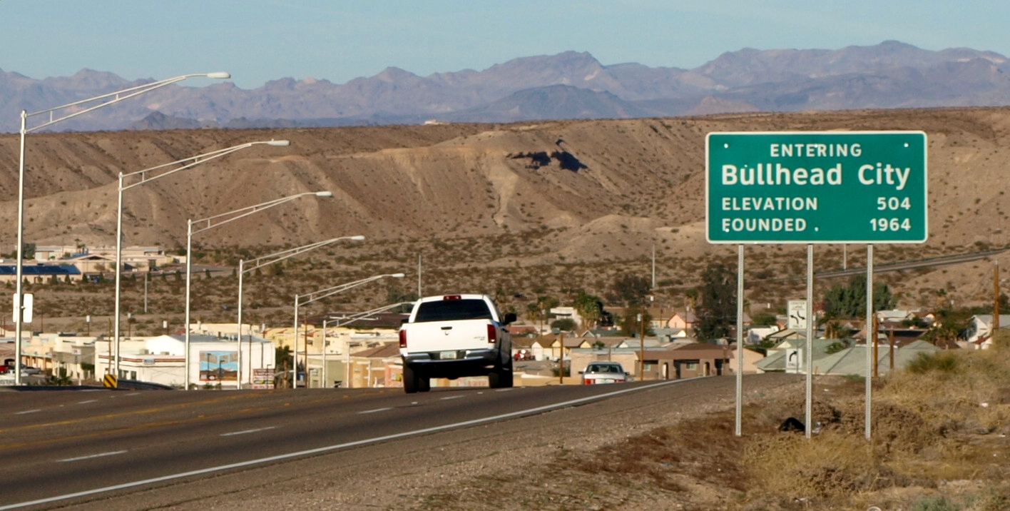
English: Southern city limits sign for the city of Bullhead City, Arizona as seen from the northbound lane of State Route 95 (Mohave Valley Highway) near East Sterling Road. View looking northeast.
This photograph was taken with an Olympus E-510 DSLR camera and edited (brightness, contrast, saturation) using ArcSoft PhotoStudio 5.5) |
| ⧼wm-license-information-date⧽ | 2012-07-01 02:52 (UTC) |
| ⧼wm-license-information-source⧽ | قالب:Derived from |
| ⧼wm-license-information-author⧽ |
.jpg&action=edit&redlink=1)
| [This is a retouched picture, which means that it has been digitally altered from its original version. Modifications: crop. The original can be viewed here: Bullhead_City,_Arizona_southern_city_limits_sign_(2012).jpg.] Error: {{Lang}}: text has italic markup (help)
|
ترخيص
|
قالب:Original upload log
This image is a derivative work of the following images:
- File:Bullhead_City,_Arizona_southern_city_limits_sign_(2012).jpg licensed with Cc-by-sa-3.0
- 2012-06-30T20:05:04Z Amineshaker 3648x2736 (5465666 Bytes) {{Information |Description ={{en|1=Southern city limits sign for the city of [[:en:Bullhead City, Arizona|Bullhead City, Arizona]] as seen from the northbound lane of [[:en:Arizona State Route 95|State Route 95 (Mohave Val
تاريخ الملف
اضغط على زمن/تاريخ لرؤية الملف كما بدا في هذا الزمن.
| زمن/تاريخ | صورة مصغرة | الأبعاد | مستخدم | تعليق | |
|---|---|---|---|---|---|
| حالي | ★ مراجعة معتمدة 05:04، 12 نوفمبر 2023 | | 1٬416 × 716 (634 كيلوبايت) | Pastakhov (نقاش | مساهمات) | Upload https://upload.wikimedia.org/wikipedia/commons/8/88/Bullhead_City%2C_Arizona_southern_city_limits_sign_%282012%29_%28crop%29.jpg |
لا يمكنك استبدال هذا الملف.
وصلات
لا يوجد صفحات تصل لهذه الصورة.
_(crop).jpg&oldid=3481718)