ملف:Buerschent.jpg
حجم هذه المعاينة: 800 × 209 بكسل. البعد الآخر: 3٬648 × 954 بكسل.
الملف الأصلي (3٬648 × 954 بكسل حجم الملف: 1٫64 ميجابايت، نوع MIME: image/jpeg)
Resumé
| ⧼wm-license-information-description⧽ |
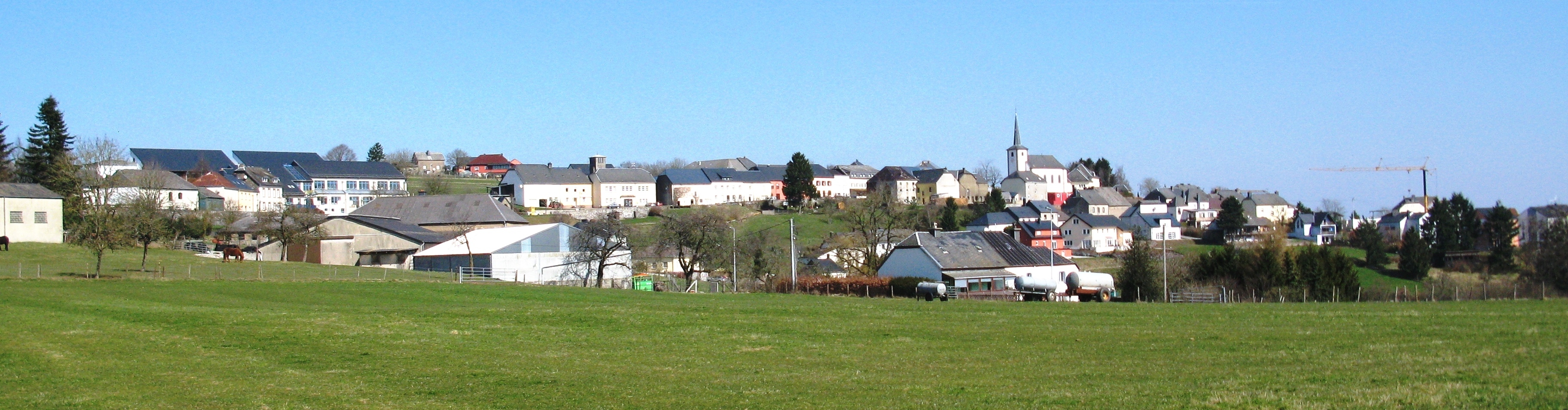
English: Village of Bourscheid seen from the hill Béchel.
Deutsch: Burscheid von Hügel Béchel gesehen.
Français : Bourscheid vu de la colline Béchel.
|
| ⧼wm-license-information-date⧽ | 2009 |
| ⧼wm-license-information-source⧽ | Archive: Les Meloures |
| ⧼wm-license-information-author⧽ | Les Meloures |
| ⧼wm-license-information-permission⧽ (⧼wm-license-information-permission-reusing-text⧽) |
see license / kuckt Lizenz / siehe Lizenz / voir license |
49°54′14″N 06°03′56″E / 49.90389°N 6.06556°E
ترخيص
تاريخ الملف
اضغط على زمن/تاريخ لرؤية الملف كما بدا في هذا الزمن.
| زمن/تاريخ | صورة مصغرة | الأبعاد | مستخدم | تعليق | |
|---|---|---|---|---|---|
| حالي | ★ مراجعة معتمدة 10:50، 28 نوفمبر 2023 | 3٬648 × 954 (1٫64 ميجابايت) | Pastakhov (نقاش | مساهمات) | Upload https://upload.wikimedia.org/wikipedia/commons/b/b2/Buerschent.jpg |
لا يمكنك استبدال هذا الملف.
وصلات
لا يوجد صفحات تصل لهذه الصورة.