ملف:Brunswick High School (Maine) Aerial View - 2017.jpg
حجم هذه المعاينة: 800 × 600 بكسل. البعد الآخر: 1٬280 × 960 بكسل.
الملف الأصلي (1٬280 × 960 بكسل حجم الملف: 1٫82 ميجابايت، نوع MIME: image/jpeg)
وصف قصير
| ⧼wm-license-information-description⧽ |
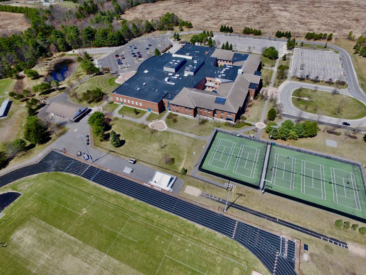
English: Brunswick High School (Maine) Aerial View - 2017
|
| ⧼wm-license-information-date⧽ | قالب:Taken on |
| ⧼wm-license-information-source⧽ | ⧼Wm-license-own-work⧽ |
| ⧼wm-license-information-author⧽ | Dni |
43°53′00″N 69°59′14″W / 43.8834°N 69.9873°W
_Aerial_View_-_2017.jpg¶ms=43.8834_N_69.9873_W_)
ترخيص
|
تاريخ الملف
اضغط على زمن/تاريخ لرؤية الملف كما بدا في هذا الزمن.
| زمن/تاريخ | صورة مصغرة | الأبعاد | مستخدم | تعليق | |
|---|---|---|---|---|---|
| حالي | ★ مراجعة معتمدة 00:20، 14 أكتوبر 2023 | | 1٬280 × 960 (1٫82 ميجابايت) | Pastakhov (نقاش | مساهمات) | Upload https://upload.wikimedia.org/wikipedia/commons/6/6b/Brunswick_High_School_%28Maine%29_Aerial_View_-_2017.jpg |
لا يمكنك استبدال هذا الملف.
وصلات
لا يوجد صفحات تصل لهذه الصورة.
_Aerial_View_-_2017.jpg&oldid=3106932)