ملف:Brecqhou from the air.JPG
حجم هذه المعاينة: 800 × 510 بكسل. البعدان الآخران: 2٬560 × 1٬631 بكسل | 3٬978 × 2٬535 بكسل.
الملف الأصلي (3٬978 × 2٬535 بكسل حجم الملف: 4٫31 ميجابايت، نوع MIME: image/jpeg)
وصف قصير
| ⧼wm-license-information-description⧽ |
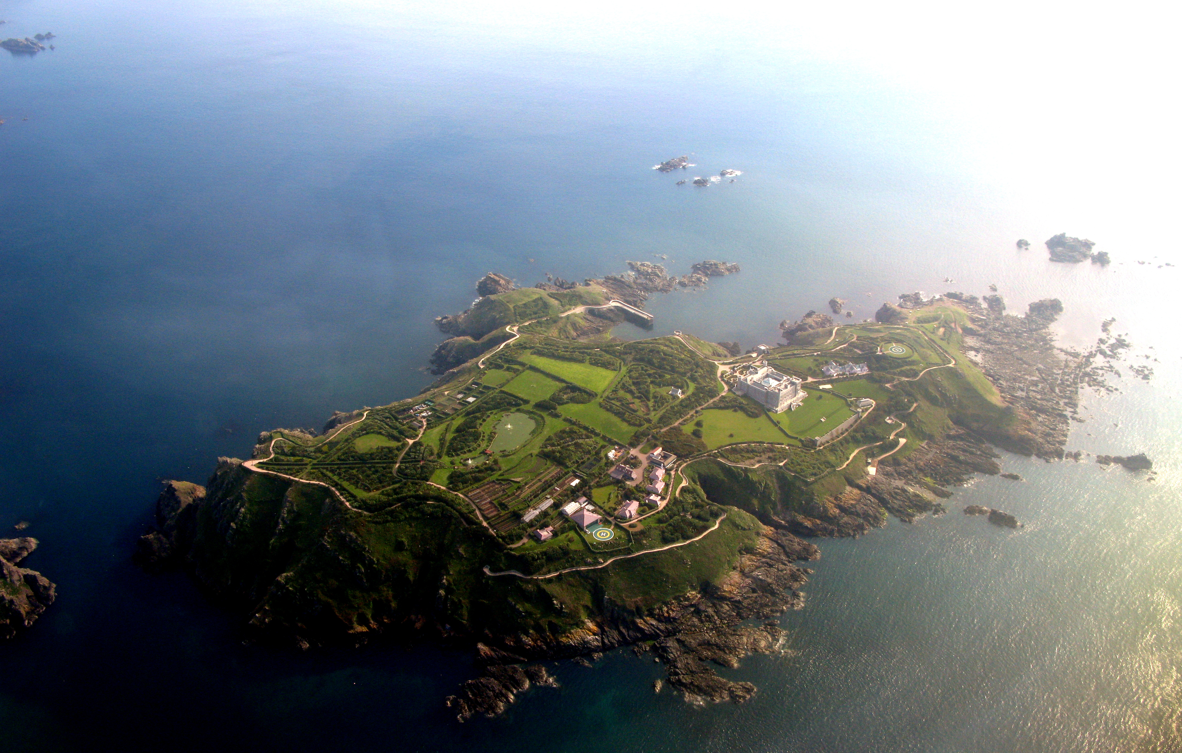
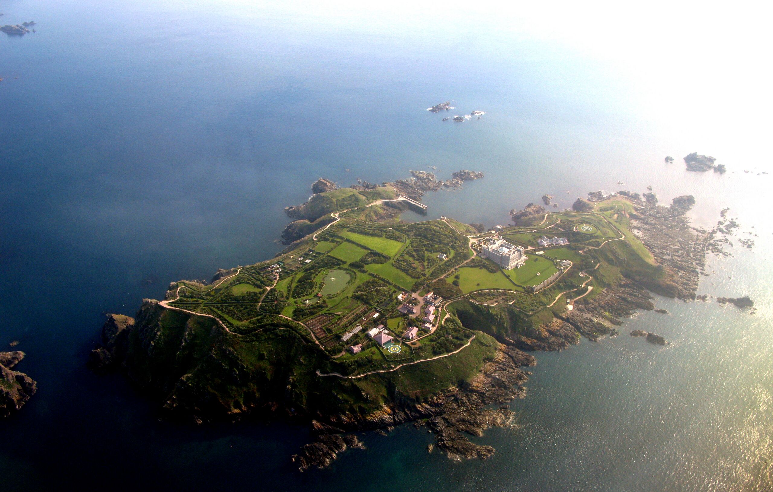
English: Brecqhou island from the air
Español: La isla de Brecqhou desde el aire
Français : Vue aérienne de l'île de Brecqhou
|
| ⧼wm-license-information-date⧽ | 2009 |
| ⧼wm-license-information-source⧽ | ⧼Wm-license-own-work⧽ |
| ⧼wm-license-information-author⧽ | Diegourdiales |
49°25′56.28″N 2°23′17.35″W / 49.4323000°N 2.3881528°W
ترخيص
قالب:Original upload log
| date/time | username | resolution | size | edit summary |
|---|---|---|---|---|
| 2009-05-23T14:45:00Z | User:Diegourdiales | 3978×2535 | 4.31Gb | {{Information |Description={{en|1=Herm island from the air}} {{es|1=La isla de Herm desde el aire}} {{fr|1=Vue aérienne de l'île d'Herm}} |Source=Own work by uploader |Author=[[User:Diegourdiales|Diegourdiales]] |Date=2009-05-14 |Permission= |other_vers |
تاريخ الملف
اضغط على زمن/تاريخ لرؤية الملف كما بدا في هذا الزمن.
| زمن/تاريخ | صورة مصغرة | الأبعاد | مستخدم | تعليق | |
|---|---|---|---|---|---|
| حالي | ★ مراجعة معتمدة 19:43، 12 نوفمبر 2023 | | 3٬978 × 2٬535 (4٫31 ميجابايت) | Pastakhov (نقاش | مساهمات) | Upload https://upload.wikimedia.org/wikipedia/commons/1/16/Brecqhou_from_the_air.JPG |
لا يمكنك استبدال هذا الملف.
وصلات
لا يوجد صفحات تصل لهذه الصورة.