ملف:Brazil Amapa location map.svg

حجم معاينة PNG لذلك الملف ذي الامتداد SVG: 530 × 599 بكسل. البعد الآخر: 1٬812 × 2٬048 بكسل.
الملف الأصلي (ملف SVG، أبعاده 622 × 703 بكسل، حجم الملف: 148 كيلوبايت)
وصف قصير
| ⧼wm-license-information-description⧽ |
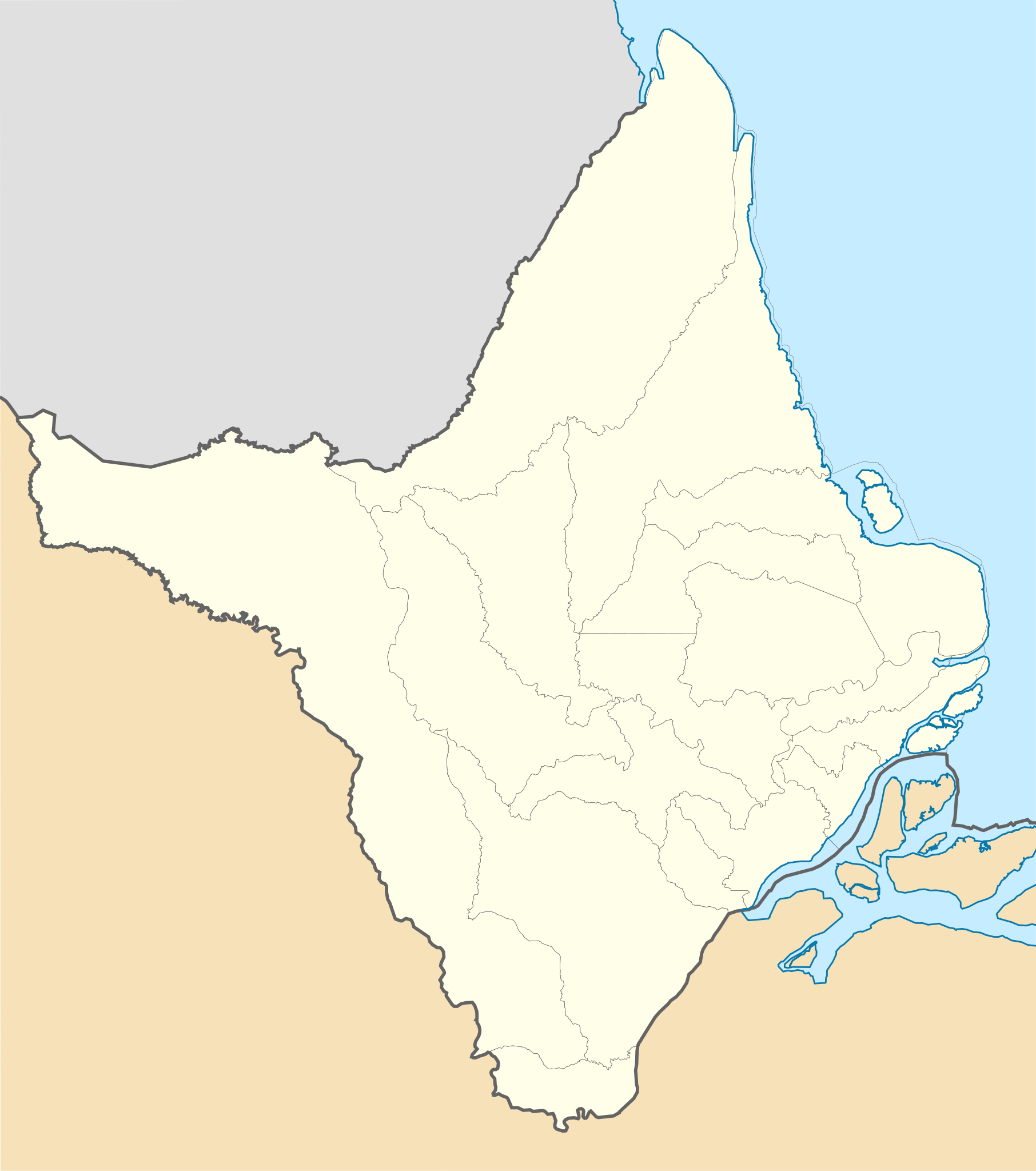
Location map of Amapá state. Geographic limits of the map:
|
| ⧼wm-license-information-date⧽ | 2012-02-10 09:46 (UTC) |
| ⧼wm-license-information-source⧽ | قالب:Derived from |
| ⧼wm-license-information-author⧽ |
|
| ⧼wm-license-information-other-versions⧽ |
ترخيص
قالب:Cc-by-sa-3.0-migrated
|

تاريخ الملف
اضغط على زمن/تاريخ لرؤية الملف كما بدا في هذا الزمن.
| زمن/تاريخ | صورة مصغرة | الأبعاد | مستخدم | تعليق | |
|---|---|---|---|---|---|
| حالي | ★ مراجعة معتمدة 17:34، 14 ديسمبر 2023 | | 622 × 703 (148 كيلوبايت) | Pastakhov (نقاش | مساهمات) | Upload https://upload.wikimedia.org/wikipedia/commons/e/ee/Brazil_Amapa_location_map.svg |
لا يمكنك استبدال هذا الملف.
وصلات
لا يوجد صفحات تصل لهذه الصورة.