ملف:Bradford Road, Atworth - geograph.org.uk - 851507.jpg
لا توجد دقة أعلى متوفرة.
Bradford_Road,_Atworth_-_geograph.org.uk_-_851507.jpg (640 × 505 بكسل حجم الملف: 94 كيلوبايت، نوع MIME: image/jpeg)
وصف قصير
| ⧼wm-license-information-description⧽ |
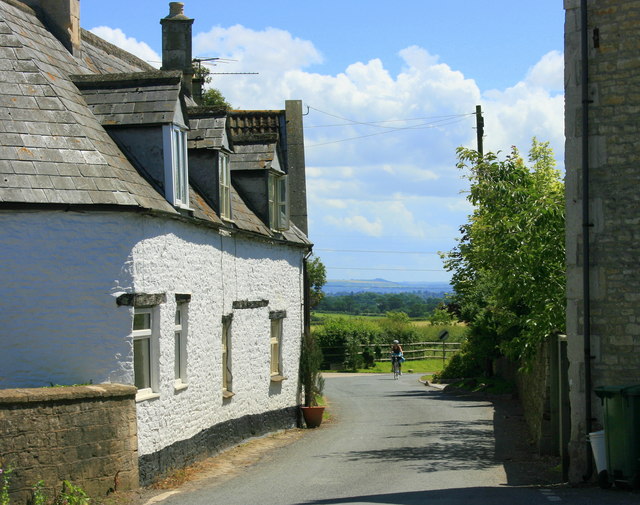
English: Bradford Road, Atworth At the western limits of Atworth taken from the junction with Church Street.
OS Landranger 173 is slightly inaccurate here. Explorer 156 is more reliable. The hill on the skyline above the cyclist is on the Salisbury Plane escarpment between Westbury and Warminster. |
| ⧼wm-license-information-date⧽ | 2008 |
| ⧼wm-license-information-source⧽ | From geograph.org.uk |
| ⧼wm-license-information-author⧽ | Maurice Pullin |
51°23′28″N 2°12′10″W / 51.39102°N 2.2028°W قالب:Object location
_heading:180)
ترخيص
تاريخ الملف
اضغط على زمن/تاريخ لرؤية الملف كما بدا في هذا الزمن.
| زمن/تاريخ | صورة مصغرة | الأبعاد | مستخدم | تعليق | |
|---|---|---|---|---|---|
| حالي | ★ مراجعة معتمدة 15:42، 23 أكتوبر 2023 | | 640 × 505 (94 كيلوبايت) | Pastakhov (نقاش | مساهمات) | Upload https://upload.wikimedia.org/wikipedia/commons/d/d0/Bradford_Road%2C_Atworth_-_geograph.org.uk_-_851507.jpg |
لا يمكنك استبدال هذا الملف.
وصلات
لا يوجد صفحات تصل لهذه الصورة.