ملف:Boult's Green Farm - geograph.org.uk - 100901.jpg
لا توجد دقة أعلى متوفرة.
Boult's_Green_Farm_-_geograph.org.uk_-_100901.jpg (640 × 480 بكسل حجم الملف: 256 كيلوبايت، نوع MIME: image/jpeg)
وصف قصير
| ⧼wm-license-information-description⧽ |
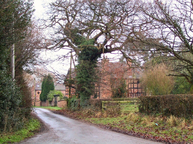
English: Boult's Green Farm. A view of the farm buildings, looking back north-east up Vicarage Lane from Colley Lane,towards the A533 and Betchton Heath.
|
| ⧼wm-license-information-date⧽ | 2006 |
| ⧼wm-license-information-source⧽ | From geograph.org.uk |
| ⧼wm-license-information-author⧽ | Roger May |
| ⧼wm-license-cc-attribution⧽ (قالب:I18n/Credit line) |
Roger May / Boult's Green Farm / |
53°08′07″N 2°20′46″W / 53.1353°N 2.346°W قالب:Object location قالب:Listed building England قالب:On Wikidata
)
ترخيص
تاريخ الملف
اضغط على زمن/تاريخ لرؤية الملف كما بدا في هذا الزمن.
| زمن/تاريخ | صورة مصغرة | الأبعاد | مستخدم | تعليق | |
|---|---|---|---|---|---|
| حالي | ★ مراجعة معتمدة 13:03، 8 ديسمبر 2023 | | 640 × 480 (256 كيلوبايت) | Pastakhov (نقاش | مساهمات) | Upload https://upload.wikimedia.org/wikipedia/commons/f/fc/Boult%27s_Green_Farm_-_geograph.org.uk_-_100901.jpg |
لا يمكنك استبدال هذا الملف.
وصلات
لا يوجد صفحات تصل لهذه الصورة.