ملف:Bonny City - panoramio.jpg
حجم هذه المعاينة: 800 × 533 بكسل. البعدان الآخران: 2٬560 × 1٬707 بكسل | 6٬000 × 4٬000 بكسل.
الملف الأصلي (6٬000 × 4٬000 بكسل حجم الملف: 6٫28 ميجابايت، نوع MIME: image/jpeg)
وصف قصير
| ⧼wm-license-information-description⧽ |
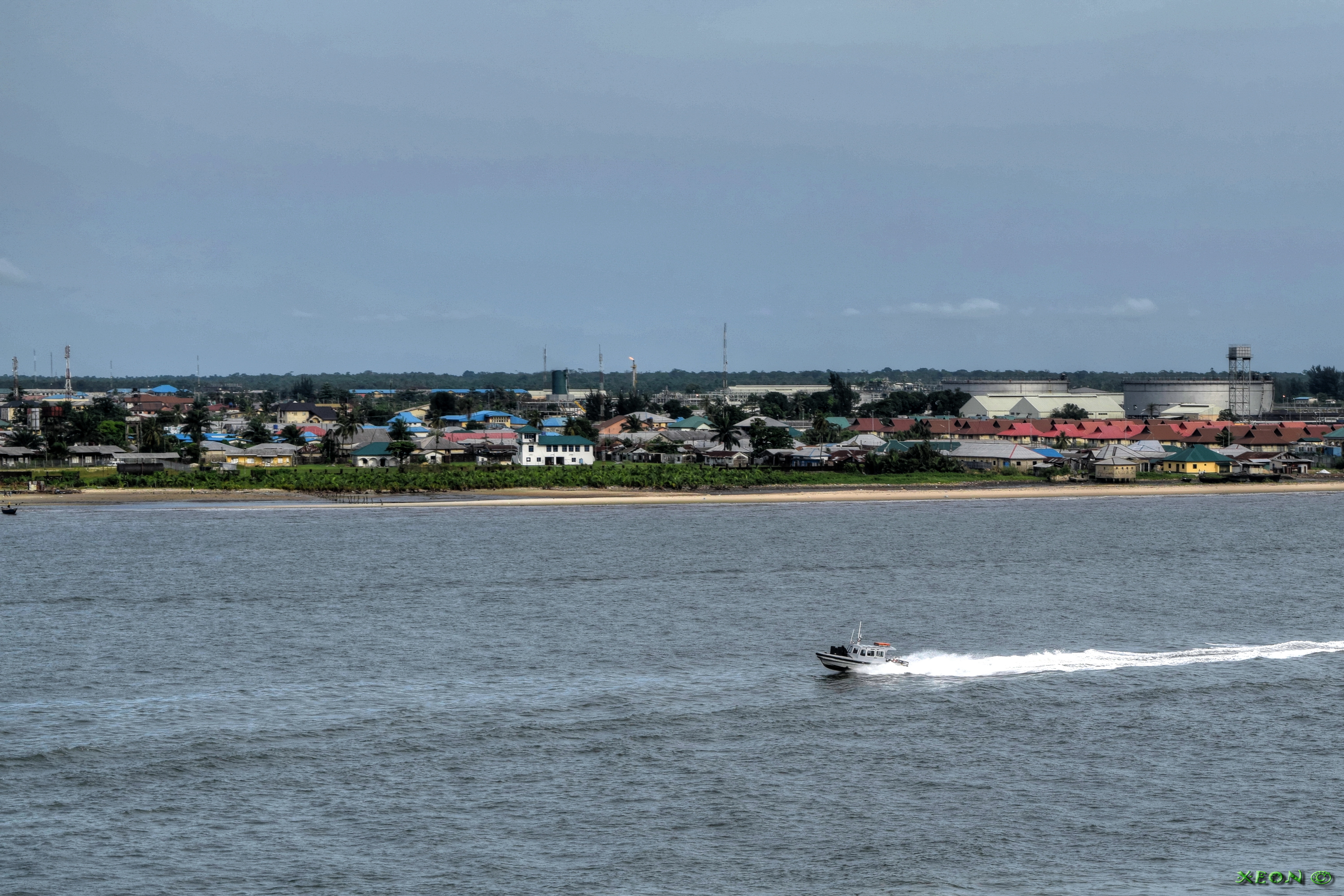
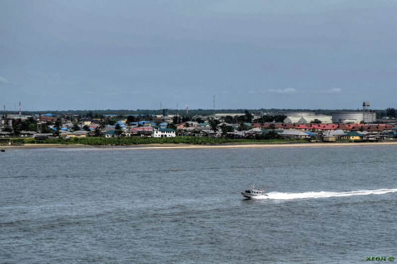
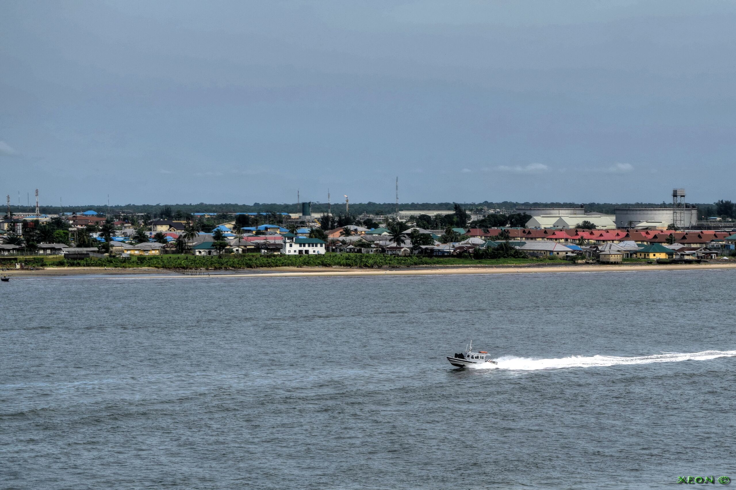
Bonny City |
| ⧼wm-license-information-date⧽ | قالب:Taken on |
| ⧼wm-license-information-source⧽ | https://web.archive.org/web/20161102010623/http://www.panoramio.com/photo/124810607 |
| ⧼wm-license-information-author⧽ | ---=XEON=--- |
| ⧼wm-license-information-permission⧽ (⧼wm-license-information-permission-reusing-text⧽) |
|
| Panoramio Tags |
Bonny, 2015, Bonny River - Nigeria, Buildings - Arhitecture - Construction - Architecture, Coast - Bank - Waterfront - Waterside - River Side - Ripe - Land - Earth - Ground - Spil - Terra, Rivers - Canals - Chanals - Water - Pond - Pool - Reservuar - Fountain, Seas - Oceans - Strait - Pass - Channel - Canal - Sea Roads - Oceans Roads - Fairways - Seaway - Clearway - Harbor - Haven - Port - Seaport - Bay - Cove - Creek, Ships - Vessel - Boat - Tug - Yacht - Barge - Barche - Oil Rig - Platforms, True Position By GPS - Correct Position - WGS84 - WGS 84 - World Geodetic System 1984 |
تاريخ الملف
اضغط على زمن/تاريخ لرؤية الملف كما بدا في هذا الزمن.
| زمن/تاريخ | صورة مصغرة | الأبعاد | مستخدم | تعليق | |
|---|---|---|---|---|---|
| حالي | ★ مراجعة معتمدة 05:35، 14 أكتوبر 2023 | | 6٬000 × 4٬000 (6٫28 ميجابايت) | Pastakhov (نقاش | مساهمات) | Upload https://upload.wikimedia.org/wikipedia/commons/9/9e/Bonny_City_-_panoramio.jpg |
لا يمكنك استبدال هذا الملف.
وصلات
لا يوجد صفحات تصل لهذه الصورة.