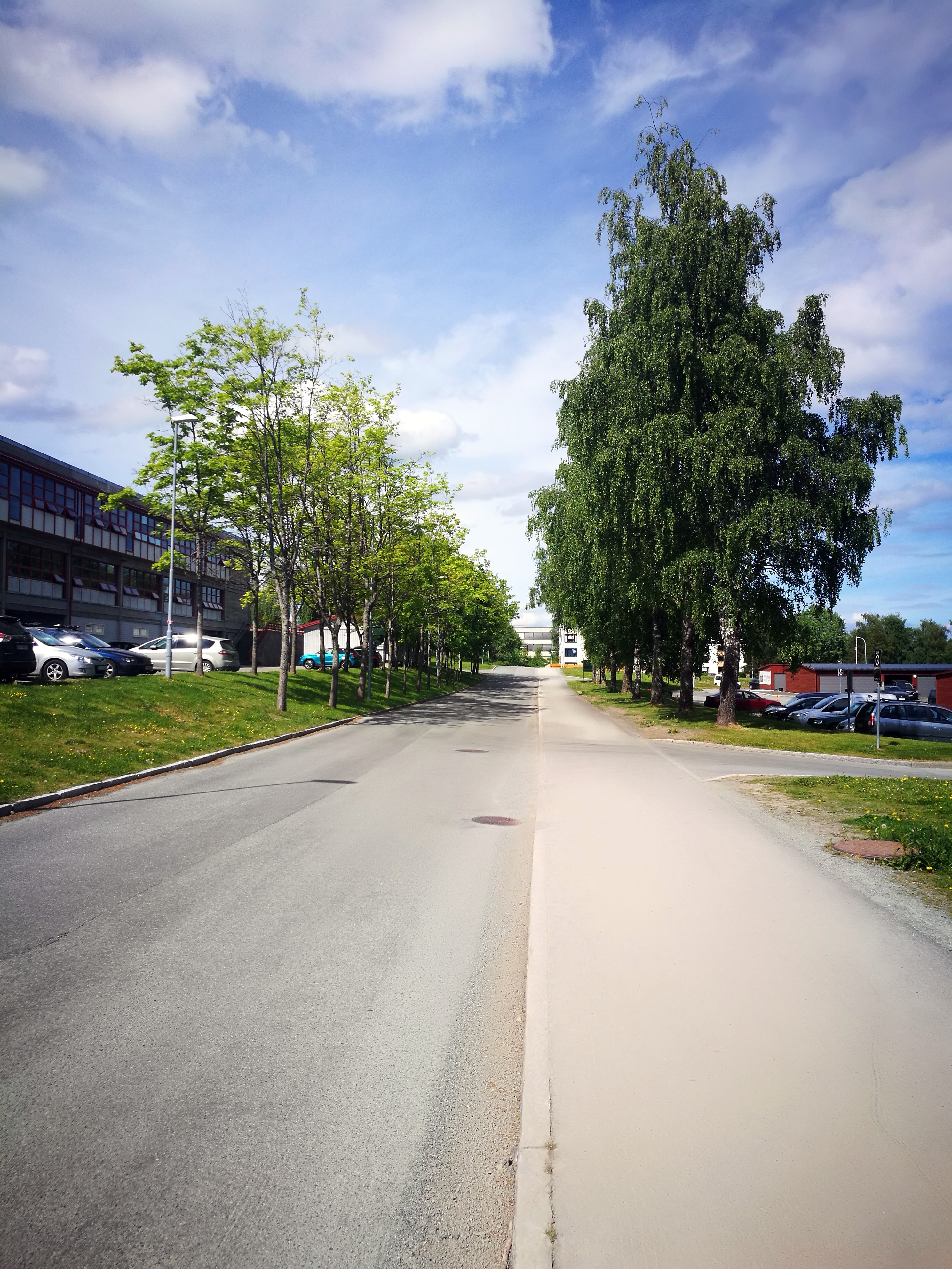
ملف:Blisterhaugvegen Trondheim 2021.06.jpg
حجم هذه المعاينة: 450 × 600 بكسل. البعدان الآخران: 1٬536 × 2٬048 بكسل | 2٬976 × 3٬968 بكسل.
الملف الأصلي (2٬976 × 3٬968 بكسل حجم الملف: 3٫9 ميجابايت، نوع MIME: image/jpeg)
وصف قصير
| ⧼wm-license-information-description⧽ | |
| ⧼wm-license-information-date⧽ | 2021, {{time}} – invalid date format 43 (help) |
| ⧼wm-license-information-source⧽ | ⧼Wm-license-own-work⧽ |
| ⧼wm-license-information-author⧽ | Cato Edvardsen |
63°21′58″N 10°21′10″E / 63.365993°N 10.352837°E
ترخيص
|
تاريخ الملف
اضغط على زمن/تاريخ لرؤية الملف كما بدا في هذا الزمن.
| زمن/تاريخ | صورة مصغرة | الأبعاد | مستخدم | تعليق | |
|---|---|---|---|---|---|
| حالي | ★ مراجعة معتمدة 14:25، 23 أكتوبر 2023 | | 2٬976 × 3٬968 (3٫9 ميجابايت) | Pastakhov (نقاش | مساهمات) | Upload https://upload.wikimedia.org/wikipedia/commons/5/56/Blisterhaugvegen_Trondheim_2021.06.jpg |
لا يمكنك استبدال هذا الملف.
وصلات
لا يوجد صفحات تصل لهذه الصورة.