ملف:Bischbrunner Forst5.png

حجم هذه المعاينة: 370 × 599 بكسل. البعد الآخر: 1٬005 × 1٬626 بكسل.
الملف الأصلي (1٬005 × 1٬626 بكسل حجم الملف: 473 كيلوبايت، نوع MIME: image/png)
وصف قصير
| ⧼wm-license-information-description⧽ |
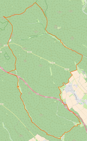
Deutsch: Gemarkung Bischbrunner Forst
|
| ⧼wm-license-information-date⧽ | 2017 |
| ⧼wm-license-information-source⧽ | ⧼Wm-license-own-work⧽قالب:ODbL OpenStreetMap |
| ⧼wm-license-information-author⧽ | CarlFriedrich |
49°53′N 9°28′E / 49.88°N 9.47°E
ترخيص
|
تاريخ الملف
اضغط على زمن/تاريخ لرؤية الملف كما بدا في هذا الزمن.
| زمن/تاريخ | صورة مصغرة | الأبعاد | مستخدم | تعليق | |
|---|---|---|---|---|---|
| حالي | ★ مراجعة معتمدة 12:41، 29 أكتوبر 2023 | | 1٬005 × 1٬626 (473 كيلوبايت) | Pastakhov (نقاش | مساهمات) | Upload https://upload.wikimedia.org/wikipedia/commons/f/fd/Bischbrunner_Forst5.png |
لا يمكنك استبدال هذا الملف.
وصلات
لا يوجد صفحات تصل لهذه الصورة.