ملف:Beaver Twp Roadside View (2).jpg
حجم هذه المعاينة: 800 × 501 بكسل. البعدان الآخران: 2٬560 × 1٬602 بكسل | 4٬557 × 2٬852 بكسل.
الملف الأصلي (4٬557 × 2٬852 بكسل حجم الملف: 10٫68 ميجابايت، نوع MIME: image/jpeg)
| ⧼wm-license-information-description⧽ |
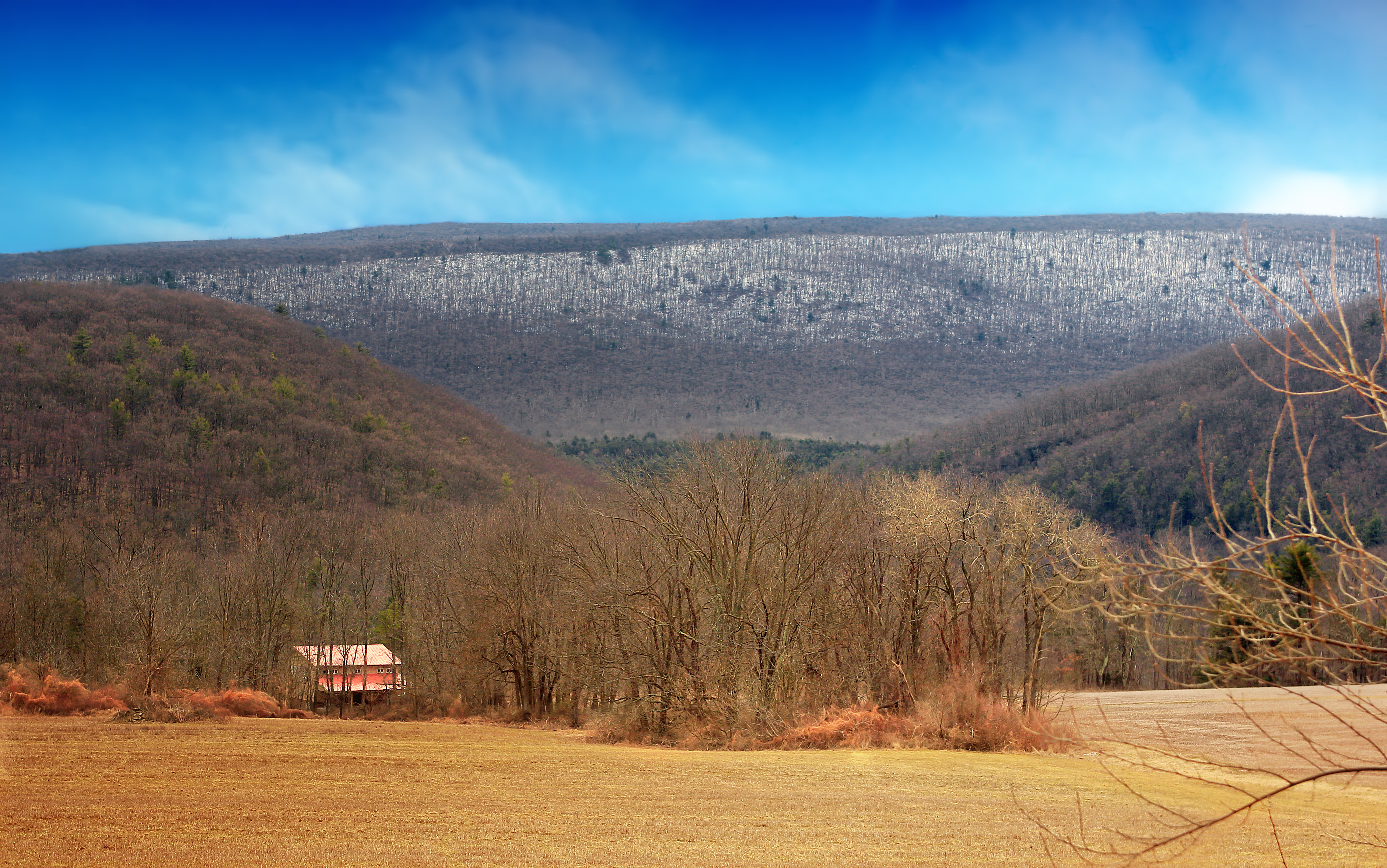
Beaver Township, Columbia County, along Beaver Valley Road. The southerly view here is of the gap formed by Catawissa Creek between Buck Mountain and Catawissa Mountain. The snow-covered ridge in the far distance is Green Mountain. |
||
| ⧼wm-license-information-date⧽ | 2013, {{time}} – invalid date format 31 (help) | ||
| ⧼wm-license-information-source⧽ | Flickr: Roadside View (2) | ||
| ⧼wm-license-information-author⧽ | Nicholas A. Tonelli | ||
| ⧼wm-license-information-permission⧽ (⧼wm-license-information-permission-reusing-text⧽) |
مستخدم:Flickr upload bot/upload |
تاريخ الملف
اضغط على زمن/تاريخ لرؤية الملف كما بدا في هذا الزمن.
| زمن/تاريخ | صورة مصغرة | الأبعاد | مستخدم | تعليق | |
|---|---|---|---|---|---|
| حالي | ★ مراجعة معتمدة 23:15، 27 نوفمبر 2023 | | 4٬557 × 2٬852 (10٫68 ميجابايت) | Pastakhov (نقاش | مساهمات) | Upload https://upload.wikimedia.org/wikipedia/commons/d/d3/Beaver_Twp_Roadside_View_%282%29.jpg |
لا يمكنك استبدال هذا الملف.
وصلات
لا يوجد صفحات تصل لهذه الصورة.
.jpg&oldid=3600774)