ملف:BIThumbMap LONDON.png
حجم هذه المعاينة: 372 × 600 بكسل. البعد الآخر: 663 × 1٬069 بكسل.
الملف الأصلي (663 × 1٬069 بكسل حجم الملف: 104 كيلوبايت، نوع MIME: image/png)
| ⧼wm-license-information-description⧽ |
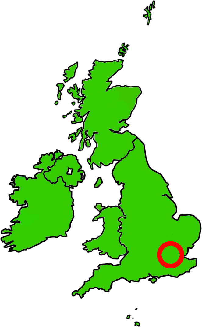
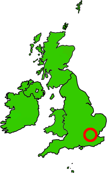
Map showing London within the British Isles, designed for use at very low resolutions |
| ⧼wm-license-information-date⧽ | 2010-04-30 00:43 (UTC) |
| ⧼wm-license-information-source⧽ | |
| ⧼wm-license-information-author⧽ |
|
|
|
هذا الملفُّ مُرخَّص بموجب رخصة المشاع الإبداعي نسبة المُصنَّف إِلى مؤلفه - المشاركة بالمثل 3.0 العامة. |
قالب:Original upload log
This image is a derivative work of the following images:
- File:BIThumbMap_SCO.png licensed with Cc-by-sa-3.0,2.5,2.0,1.0, GFDL
- 2007-10-29T13:26:26Z Ras52 663x1069 (114881 Bytes) {{Information |Description=Map showing Scotland within the British Isles, designed for use at very low resolutions |Source=self-made |Date=2007-10-29 |Author= [[User:Ras52|Ras52]] }}
- File:BIThumbMap_IOM.png licensed with Cc-by-sa-3.0,2.5,2.0,1.0, GFDL
- 2007-10-29T13:20:06Z Ras52 663x1069 (112411 Bytes) {{Information |Description=Map showing the Isle of Man within British Isles, designed for use at very low resolutions |Source=self-made |Date=2007-10-29 |Author= [[User:Ras52|Ras52]] }}
- File:BIThumbMap_WAL.png licensed with Cc-by-sa-3.0,2.5,2.0,1.0, GFDL
- 2007-10-29T13:24:21Z Ras52 663x1069 (116067 Bytes) {{Information |Description=Map showing Wales within the British Isles, designed for use at very low resolutions |Source=self-made |Date=2007-10-29 |Author= [[User:Ras52|Ras52]] }}
تاريخ الملف
اضغط على زمن/تاريخ لرؤية الملف كما بدا في هذا الزمن.
| زمن/تاريخ | صورة مصغرة | الأبعاد | مستخدم | تعليق | |
|---|---|---|---|---|---|
| حالي | ★ مراجعة معتمدة 16:34، 3 نوفمبر 2023 | | 663 × 1٬069 (104 كيلوبايت) | Pastakhov (نقاش | مساهمات) | Upload https://upload.wikimedia.org/wikipedia/commons/8/83/BIThumbMap_LONDON.png |
لا يمكنك استبدال هذا الملف.
وصلات
لا يوجد صفحات تصل لهذه الصورة.