ملف:Awyrlun dron o ffynnon Dyfnog - aerial drone photograph of St Dyfnog's Celtic Well, Llanrhaeadr-yng-Nghinmeirch, Denbighshire, Cymru (Wales) 02.jpg
حجم هذه المعاينة: 800 × 600 بكسل. البعدان الآخران: 2٬560 × 1٬920 بكسل | 4٬032 × 3٬024 بكسل.
الملف الأصلي (4٬032 × 3٬024 بكسل حجم الملف: 7٫84 ميجابايت، نوع MIME: image/jpeg)
وصف قصير
| ⧼wm-license-information-description⧽ |
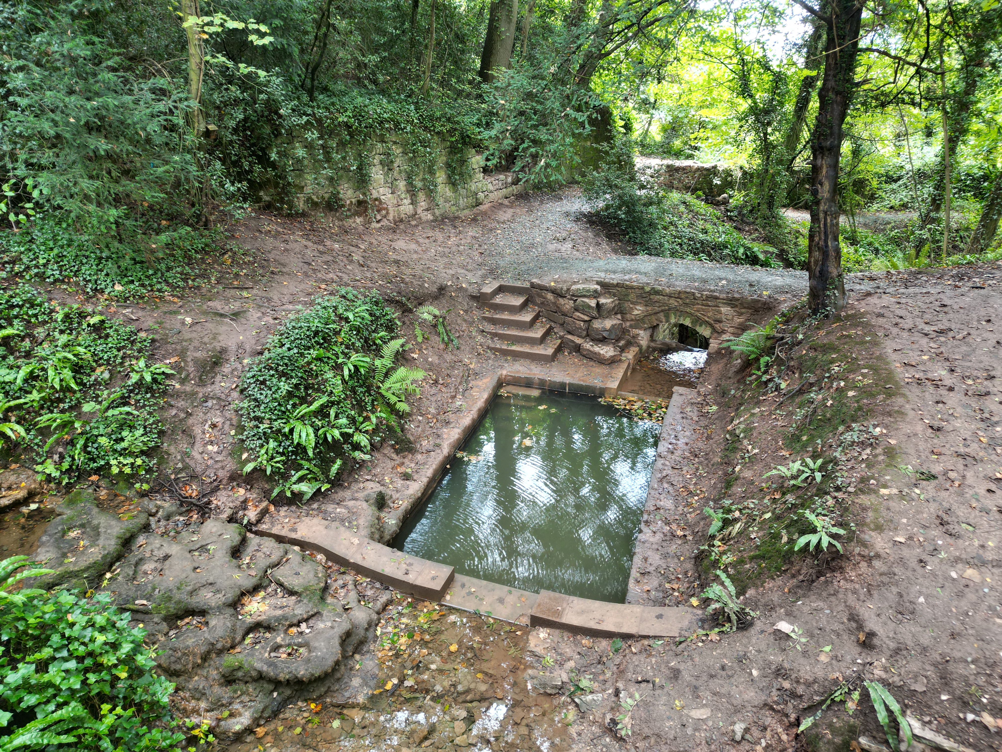
English: Aerial drone photograph of St Dyfnog's Celtic Well, Llanrhaeadr-yng-Nghinmeirch, Denbighshire, Cymru (Wales). A Grade II Listed Building. قالب:Listed building Wales
|
| ⧼wm-license-information-date⧽ | 2022 |
| ⧼wm-license-information-source⧽ | ⧼Wm-license-own-work⧽ |
| ⧼wm-license-information-author⧽ | Llywelyn2000 |
53°09′33″N 3°22′41″W / 53.1593°N 3.3781°W
_02.jpg¶ms=53.1593_N_3.3781_W_)
ترخيص
|
تاريخ الملف
اضغط على زمن/تاريخ لرؤية الملف كما بدا في هذا الزمن.
| زمن/تاريخ | صورة مصغرة | الأبعاد | مستخدم | تعليق | |
|---|---|---|---|---|---|
| حالي | ★ مراجعة معتمدة 11:44، 6 نوفمبر 2023 | | 4٬032 × 3٬024 (7٫84 ميجابايت) | Pastakhov (نقاش | مساهمات) | Upload https://upload.wikimedia.org/wikipedia/commons/f/f0/Awyrlun_dron_o_ffynnon_Dyfnog_-_aerial_drone_photograph_of_St_Dyfnog%27s_Celtic_Well%2C_Llanrhaeadr-yng-Nghinmeirch%2C_Denbighshire%2C_Cymru_%28Wales%29_02.jpg |
لا يمكنك استبدال هذا الملف.
وصلات
لا يوجد صفحات تصل لهذه الصورة.
_02.jpg&oldid=3387263)