ملف:Argo navis constellation map.png
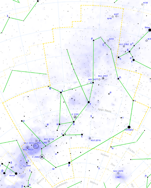
حجم هذه المعاينة: 482 × 599 بكسل. البعد الآخر: 2٬216 × 2٬753 بكسل.
الملف الأصلي (2٬216 × 2٬753 بكسل حجم الملف: 916 كيلوبايت، نوع MIME: image/png)
وصف قصير
| ⧼wm-license-information-description⧽ |
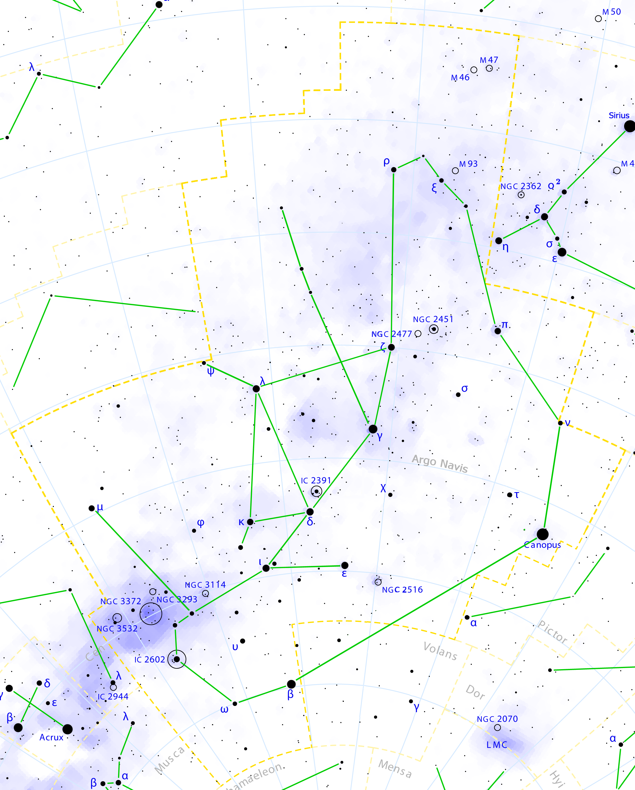
English: This is a celestial map of the ancient constellation Argo Navis, the Argo's Ship, as seen if Lacaille didn't divide it into Puppis, Vela, Carina and Pyxis.
LMC is the Large Magellanic Cloud. It was created by Torsten Bronger using the program PP3 on 2000/07/07. At PP3's homepage, you also get the input scripts necessary for re-compiling the map. The yellow dashed lines are constellation boundaries, the red dashed line is the ecliptic, and the shades of blue show Milky Way areas of different brightness. The map contains all Messier objects, except for colliding ones. The underlying database contains all stars brighter than 6.5. All coordinates refer to equinox 2000.0. The map is calculated with the equidistant azimuthal projection (the zenith being in the center of the image). The north pole is to the top. The (horizontal) lines of equal declination are drawn for 0°, ±10°, ±20° etc. The lines of equal rectascension are drawn for all 24 hours. Towards the rim there is a very slight magnification (and distortion). |
| ⧼wm-license-information-date⧽ | 2008 |
| ⧼wm-license-information-source⧽ | ⧼Wm-license-own-work⧽ |
| ⧼wm-license-information-author⧽ | Roberto Mura |
| ⧼wm-license-information-permission⧽ (⧼wm-license-information-permission-reusing-text⧽) |
GFDL/FAL |
ترخيص
|

تاريخ الملف
اضغط على زمن/تاريخ لرؤية الملف كما بدا في هذا الزمن.
| زمن/تاريخ | صورة مصغرة | الأبعاد | مستخدم | تعليق | |
|---|---|---|---|---|---|
| حالي | ★ مراجعة معتمدة 12:30، 13 ديسمبر 2023 | | 2٬216 × 2٬753 (916 كيلوبايت) | Pastakhov (نقاش | مساهمات) | Upload https://upload.wikimedia.org/wikipedia/commons/5/57/Argo_navis_constellation_map.png |
لا يمكنك استبدال هذا الملف.
وصلات
لا يوجد صفحات تصل لهذه الصورة.