ملف:ArconNorOue.JPG

حجم هذه المعاينة: 800 × 533 بكسل. البعدان الآخران: 2٬560 × 1٬707 بكسل | 3٬264 × 2٬176 بكسل.
الملف الأصلي (3٬264 × 2٬176 بكسل حجم الملف: 2٫94 ميجابايت، نوع MIME: image/jpeg)
وصف قصير
| ⧼wm-license-information-description⧽ |
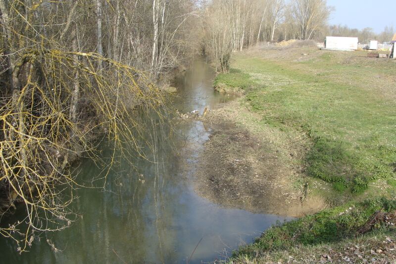
L'Arçon (Commune d'Auch, Gers) en aval vers le nor-ouest au National 21, l'Armand au fond droit. L'Arçon (Auch, Gers) downstream towards the northwest at the National 21; L'Armand in the right background. |
| ⧼wm-license-information-date⧽ | 2010 |
| ⧼wm-license-information-source⧽ | ⧼Wm-license-own-work⧽ |
| ⧼wm-license-information-author⧽ | TriniMuñoz |
43°42′19.17″N 0°37′5.66″E / 43.7053250°N 0.6182389°E
ترخيص
|

تاريخ الملف
اضغط على زمن/تاريخ لرؤية الملف كما بدا في هذا الزمن.
| زمن/تاريخ | صورة مصغرة | الأبعاد | مستخدم | تعليق | |
|---|---|---|---|---|---|
| حالي | ★ مراجعة معتمدة 06:17، 21 أكتوبر 2023 | | 3٬264 × 2٬176 (2٫94 ميجابايت) | Pastakhov (نقاش | مساهمات) | Upload https://upload.wikimedia.org/wikipedia/commons/c/c6/ArconNorOue.JPG |
لا يمكنك استبدال هذا الملف.
وصلات
لا يوجد صفحات تصل لهذه الصورة.