ملف:Appenzell Innerrhoden in Switzerland (river location map scheme).svg

حجم معاينة PNG لذلك الملف ذي الامتداد SVG: 800 × 513 بكسل. البعد الآخر: 2٬560 × 1٬642 بكسل.
الملف الأصلي (ملف SVG، أبعاده 1٬349 × 865 بكسل، حجم الملف: 406 كيلوبايت)
وصف قصير
| ⧼wm-license-information-description⧽ |
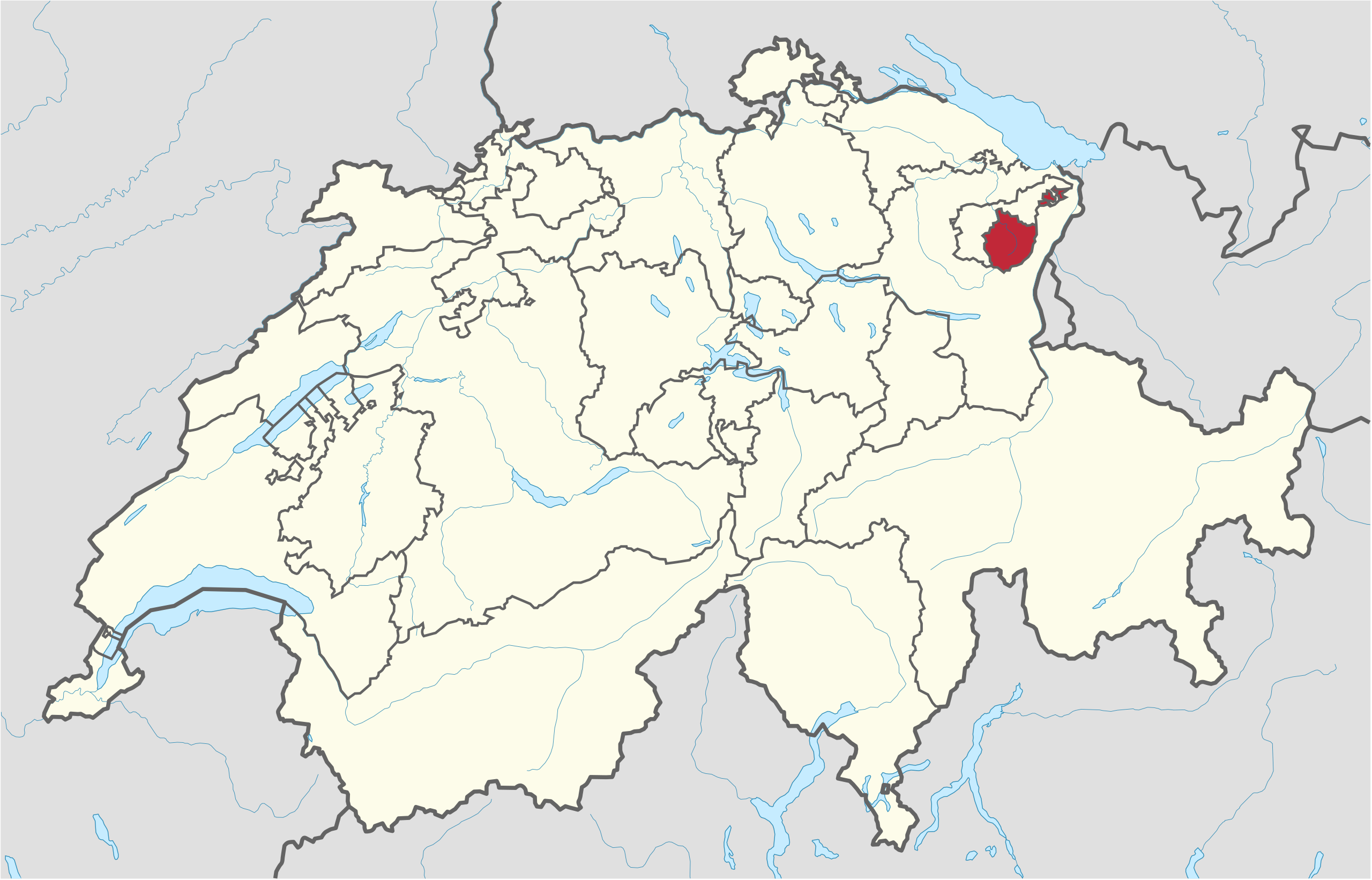
Deutsch: Lage des Kantons XY (siehe Dateiname) in der Schweiz.
English: Location of canton XY (see filename) in Switzerland
|
| ⧼wm-license-information-date⧽ | 2011 |
| ⧼wm-license-information-source⧽ | ⧼Wm-license-own-work⧽قالب:Adobe Illustratorقالب:Commonistقالب:AttribSVG |
| ⧼wm-license-information-author⧽ | قالب:TUBS |
| ⧼wm-license-information-other-versions⧽ |
ترخيص
|
تاريخ الملف
اضغط على زمن/تاريخ لرؤية الملف كما بدا في هذا الزمن.
| زمن/تاريخ | صورة مصغرة | الأبعاد | مستخدم | تعليق | |
|---|---|---|---|---|---|
| حالي | ★ مراجعة معتمدة 20:29، 18 ديسمبر 2023 | | 1٬349 × 865 (406 كيلوبايت) | Pastakhov (نقاش | مساهمات) | Upload https://upload.wikimedia.org/wikipedia/commons/9/9a/Appenzell_Innerrhoden_in_Switzerland_%28river_location_map_scheme%29.svg |
لا يمكنك استبدال هذا الملف.
وصلات
لا يوجد صفحات تصل لهذه الصورة.
.svg&oldid=3810020)