ملف:Antietam field MD1.jpg
حجم هذه المعاينة: 800 × 535 بكسل. البعدان الآخران: 2٬560 × 1٬711 بكسل | 5٬472 × 3٬658 بكسل.
الملف الأصلي (5٬472 × 3٬658 بكسل حجم الملف: 11٫84 ميجابايت، نوع MIME: image/jpeg)
وصف قصير
| ⧼wm-license-information-description⧽ |
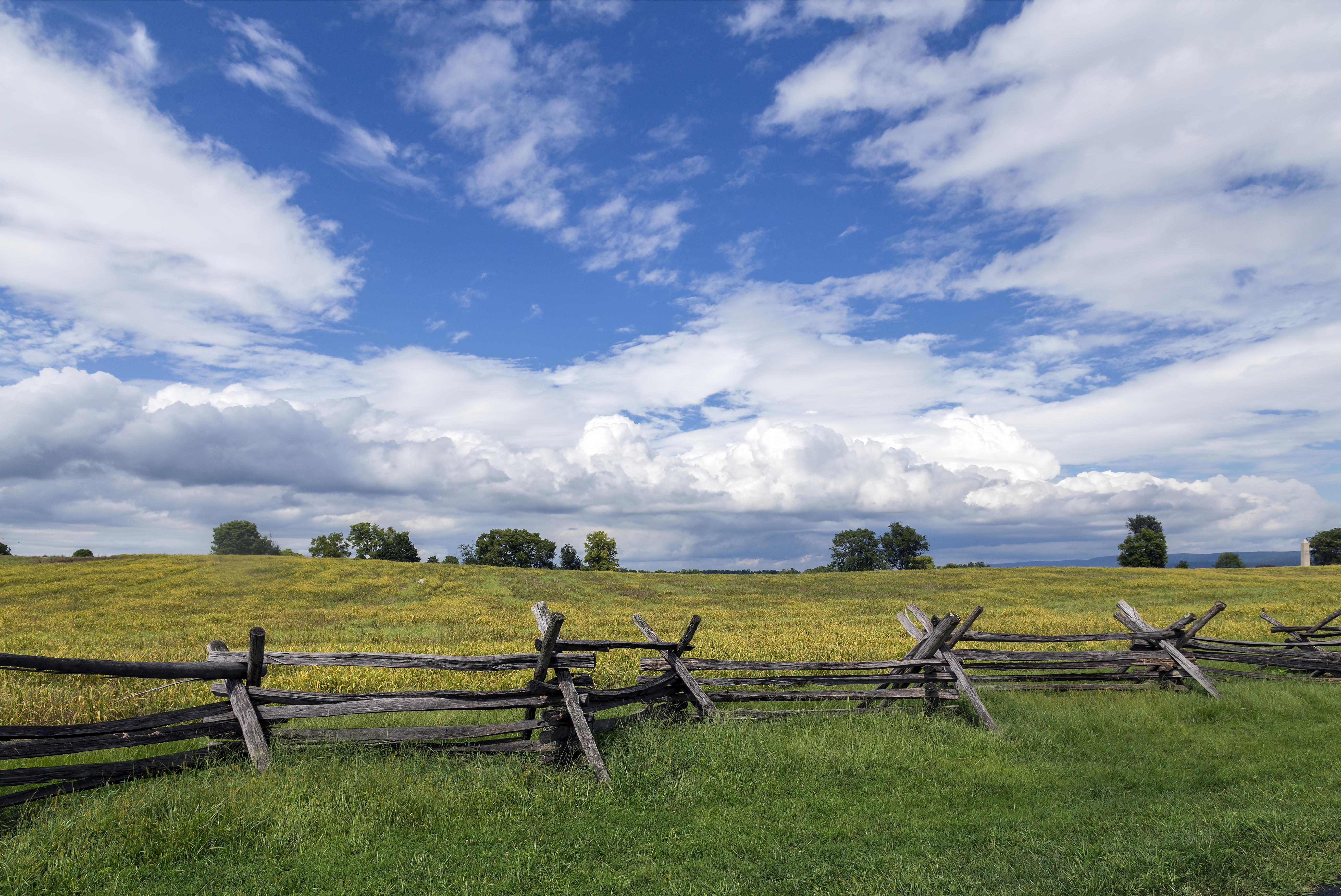
English: Field near Bloody Lane, Antietam National Battlefield, Sharpsburg, Maryland, USA
Français : Champ près de Bloody Lane, champ de bataille national d'Antietam, Sharpsburg, Maryland, Etats-Unis
|
| ⧼wm-license-information-date⧽ | قالب:Taken on |
| ⧼wm-license-information-source⧽ | ⧼Wm-license-own-work⧽ |
| ⧼wm-license-information-author⧽ | Acroterion |
39°28′16.57″N 77°44′32.04″W / 39.4712694°N 77.7422333°W
ترخيص
|
تاريخ الملف
اضغط على زمن/تاريخ لرؤية الملف كما بدا في هذا الزمن.
| زمن/تاريخ | صورة مصغرة | الأبعاد | مستخدم | تعليق | |
|---|---|---|---|---|---|
| حالي | ★ مراجعة معتمدة 03:40، 26 يناير 2024 | | 5٬472 × 3٬658 (11٫84 ميجابايت) | Pastakhov (نقاش | مساهمات) | Upload https://upload.wikimedia.org/wikipedia/commons/c/cc/Antietam_field_MD1.jpg |
لا يمكنك استبدال هذا الملف.
وصلات
لا يوجد صفحات تصل لهذه الصورة.