ملف:Annapolis valley map.png

حجم هذه المعاينة: 734 × 599 بكسل. البعد الآخر: 2٬000 × 1٬633 بكسل.
الملف الأصلي (2٬000 × 1٬633 بكسل حجم الملف: 546 كيلوبايت، نوع MIME: image/png)
وصف قصير

|
[This image was moved to Wikimedia Commons from en.wikipedia using a bot script. All source information is still present. It requires review. Additionally, there may be errors in any or all of the information fields; information on this image should not be considered reliable and the image should not be used until it has been reviewed and any needed corrections have been made. Once the review has been completed, this template should be removed. For details, see below. Check now!] Error: {{Lang}}: text has italic markup (help)
Afrikaans | Deutsch | English | suomi | français | עברית | Plattdüütsch | Nederlands | русский | ไทย | +/− |
| ⧼wm-license-information-description⧽ |
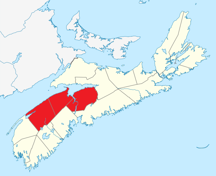
English: Map of the Annapolis Valley region
|
| ⧼wm-license-information-date⧽ | 2010-02-9 02:48 (UTC) |
| ⧼wm-license-information-source⧽ | I (Canadian) created this work entirely by myself. |
| ⧼wm-license-information-author⧽ | Canadian |
ترخيص
قالب:GFDL-user-en-with-disclaimers
قالب:Original upload log
قالب:Transferred from قالب:Original description
- 2012-07-13 00:09 Canadaolympic989 2000×1633× (559489 bytes) Fixing as per Statistics Canada ([[Wikipedia:File_Upload_Wizard|File Upload Wizard]])
- 2010-02-09 02:48 Canadaolympic989 2000×1633× (559767 bytes) {{Information |Description = Map of the Annapolis Valley region |Source = I (Canadian) created this work entirely by myself. |Date = ~~~~~ |Author = Canadian |other_versions = }}
تاريخ الملف
اضغط على زمن/تاريخ لرؤية الملف كما بدا في هذا الزمن.
| زمن/تاريخ | صورة مصغرة | الأبعاد | مستخدم | تعليق | |
|---|---|---|---|---|---|
| حالي | ★ مراجعة معتمدة 09:49، 9 نوفمبر 2023 | | 2٬000 × 1٬633 (546 كيلوبايت) | Pastakhov (نقاش | مساهمات) | Upload https://upload.wikimedia.org/wikipedia/commons/5/5a/Annapolis_valley_map.png |
لا يمكنك استبدال هذا الملف.
وصلات
لا يوجد صفحات تصل لهذه الصورة.