ملف:Anino River.jpg
حجم هذه المعاينة: 800 × 600 بكسل. البعدان الآخران: 2٬560 × 1٬920 بكسل | 4٬000 × 3٬000 بكسل.
الملف الأصلي (4٬000 × 3٬000 بكسل حجم الملف: 2٫66 ميجابايت، نوع MIME: image/jpeg)
وصف قصير
| ⧼wm-license-information-description⧽ |
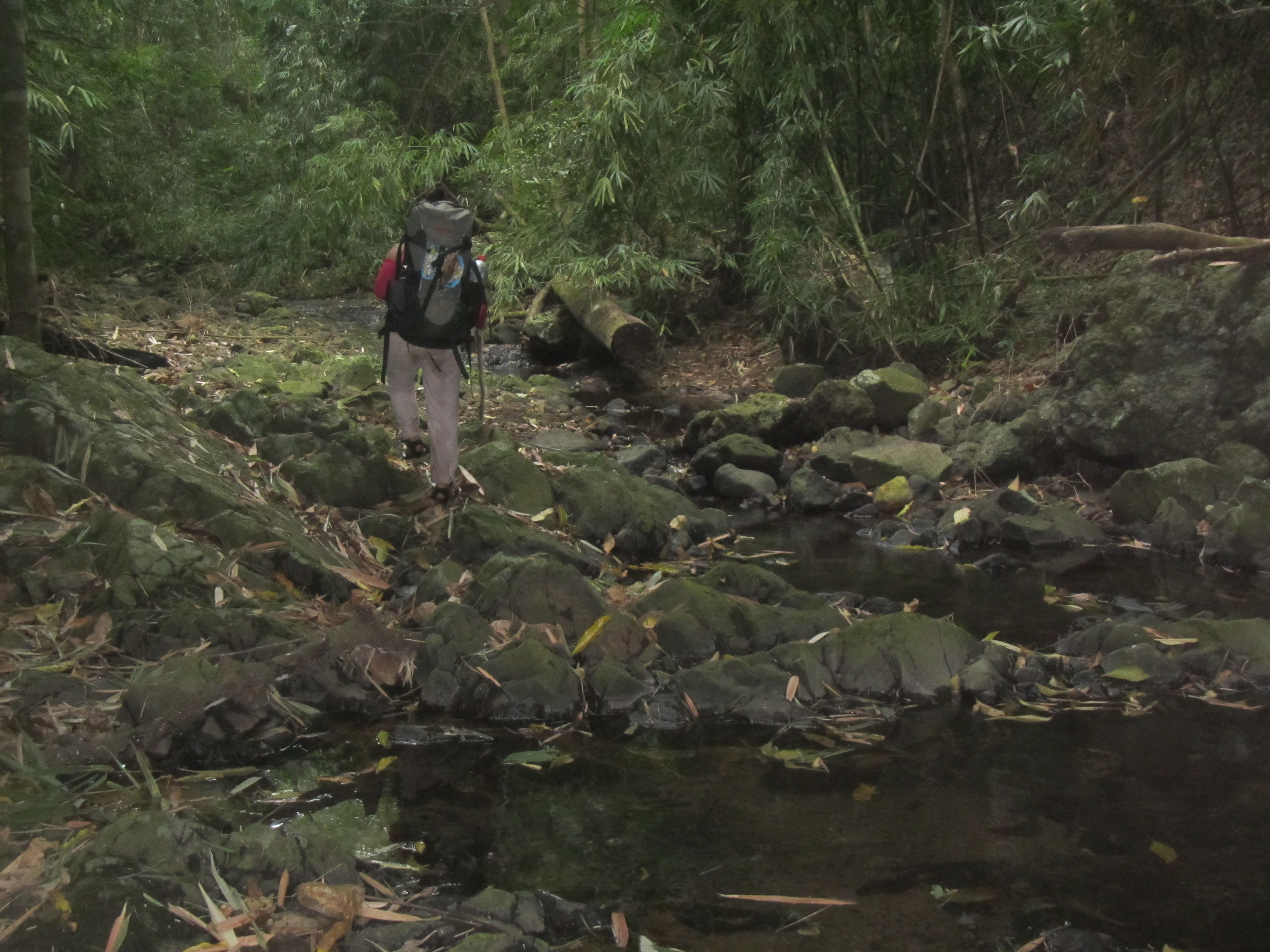
English: Trekking along the Anino River at the center of the Palay-Palay - Mataas na Gulod Mountain Range of Cavite and Batangas. Photo taken during the mapping expedition of Schadow1 Expeditions to connect Mount Marami to Pico De Loro.
|
|||||
| ⧼wm-license-information-date⧽ | 2014, {{time}} – invalid date format 22 (help) | |||||
| ⧼wm-license-information-source⧽ | ⧼Wm-license-own-work⧽ | |||||
| ⧼wm-license-information-author⧽ | Ervin Malicdem | |||||
| ⧼wm-license-information-permission⧽ (⧼wm-license-information-permission-reusing-text⧽) |
|

14°12′40″N 120°40′39″E / 14.211138°N 120.677612°E Initially published at Schadow1 Expeditions http://www.s1expeditions.com/2014/12/168-palaypalay-gulod-megatraverse.html
تاريخ الملف
اضغط على زمن/تاريخ لرؤية الملف كما بدا في هذا الزمن.
| زمن/تاريخ | صورة مصغرة | الأبعاد | مستخدم | تعليق | |
|---|---|---|---|---|---|
| حالي | ★ مراجعة معتمدة 15:03، 13 أكتوبر 2023 | | 4٬000 × 3٬000 (2٫66 ميجابايت) | Pastakhov (نقاش | مساهمات) | Upload https://upload.wikimedia.org/wikipedia/commons/3/3b/Anino_River.jpg |
لا يمكنك استبدال هذا الملف.
وصلات
لا يوجد صفحات تصل لهذه الصورة.