ملف:Andreanof Map.jpg
لا توجد دقة أعلى متوفرة.
Andreanof_Map.jpg (560 × 249 بكسل حجم الملف: 24 كيلوبايت، نوع MIME: image/jpeg)
وصف قصير
| ⧼wm-license-information-description⧽ |
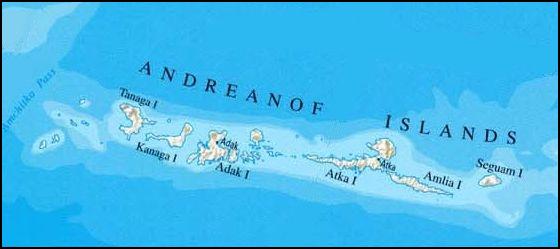
Deutsch: Karte der Andreanof Islands, Alaska
|
| ⧼wm-license-information-date⧽ | 2009 |
| ⧼wm-license-information-source⧽ | http://www.lib.utexas.edu/maps/united_states/united_states_wall_2002_ak.jpg, cropepd |
| ⧼wm-license-information-author⧽ | nationalatlas.gov/U.S. Geological Survey, edited by Ulrich Kaden |
ترخيص
تاريخ الملف
اضغط على زمن/تاريخ لرؤية الملف كما بدا في هذا الزمن.
| زمن/تاريخ | صورة مصغرة | الأبعاد | مستخدم | تعليق | |
|---|---|---|---|---|---|
| حالي | ★ مراجعة معتمدة 01:14، 17 أكتوبر 2023 | | 560 × 249 (24 كيلوبايت) | Pastakhov (نقاش | مساهمات) | Upload https://upload.wikimedia.org/wikipedia/commons/e/e4/Andreanof_Map.jpg |
لا يمكنك استبدال هذا الملف.
وصلات
لا يوجد صفحات تصل لهذه الصورة.