ملف:Al-Qalail Range depuis la Route Qatar-EAU.jpg

حجم هذه المعاينة: 800 × 450 بكسل. البعدان الآخران: 2٬560 × 1٬440 بكسل | 4٬128 × 2٬322 بكسل.
الملف الأصلي (4٬128 × 2٬322 بكسل حجم الملف: 2٫45 ميجابايت، نوع MIME: image/jpeg)
وصف قصير
| ⧼wm-license-information-description⧽ |
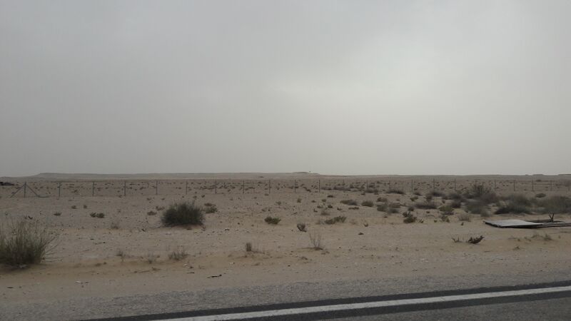
Français : Al-Qalail Range depuis la route Qatar-EAU
|
| ⧼wm-license-information-date⧽ | 2018, {{time}} – invalid date format 15 (help) |
| ⧼wm-license-information-source⧽ | ⧼Wm-license-own-work⧽ |
| ⧼wm-license-information-author⧽ | Kozakchok |
24°43′04″N 51°02′51″E / 24.717782°N 51.047467°E
ترخيص
|
تاريخ الملف
اضغط على زمن/تاريخ لرؤية الملف كما بدا في هذا الزمن.
| زمن/تاريخ | صورة مصغرة | الأبعاد | مستخدم | تعليق | |
|---|---|---|---|---|---|
| حالي | ★ مراجعة معتمدة 08:55، 14 أكتوبر 2023 | | 4٬128 × 2٬322 (2٫45 ميجابايت) | Pastakhov (نقاش | مساهمات) | Upload https://upload.wikimedia.org/wikipedia/commons/c/c5/Al-Qalail_Range_depuis_la_Route_Qatar-EAU.jpg |
لا يمكنك استبدال هذا الملف.
وصلات
لا يوجد صفحات تصل لهذه الصورة.