ملف:Aerial view of Moses Lake & Potholes Reservoir, Washington 01A.jpg
حجم هذه المعاينة: 800 × 600 بكسل. البعدان الآخران: 2٬560 × 1٬920 بكسل | 3٬264 × 2٬448 بكسل.
الملف الأصلي (3٬264 × 2٬448 بكسل حجم الملف: 3٫02 ميجابايت، نوع MIME: image/jpeg)
وصف قصير
| ⧼wm-license-information-description⧽ |
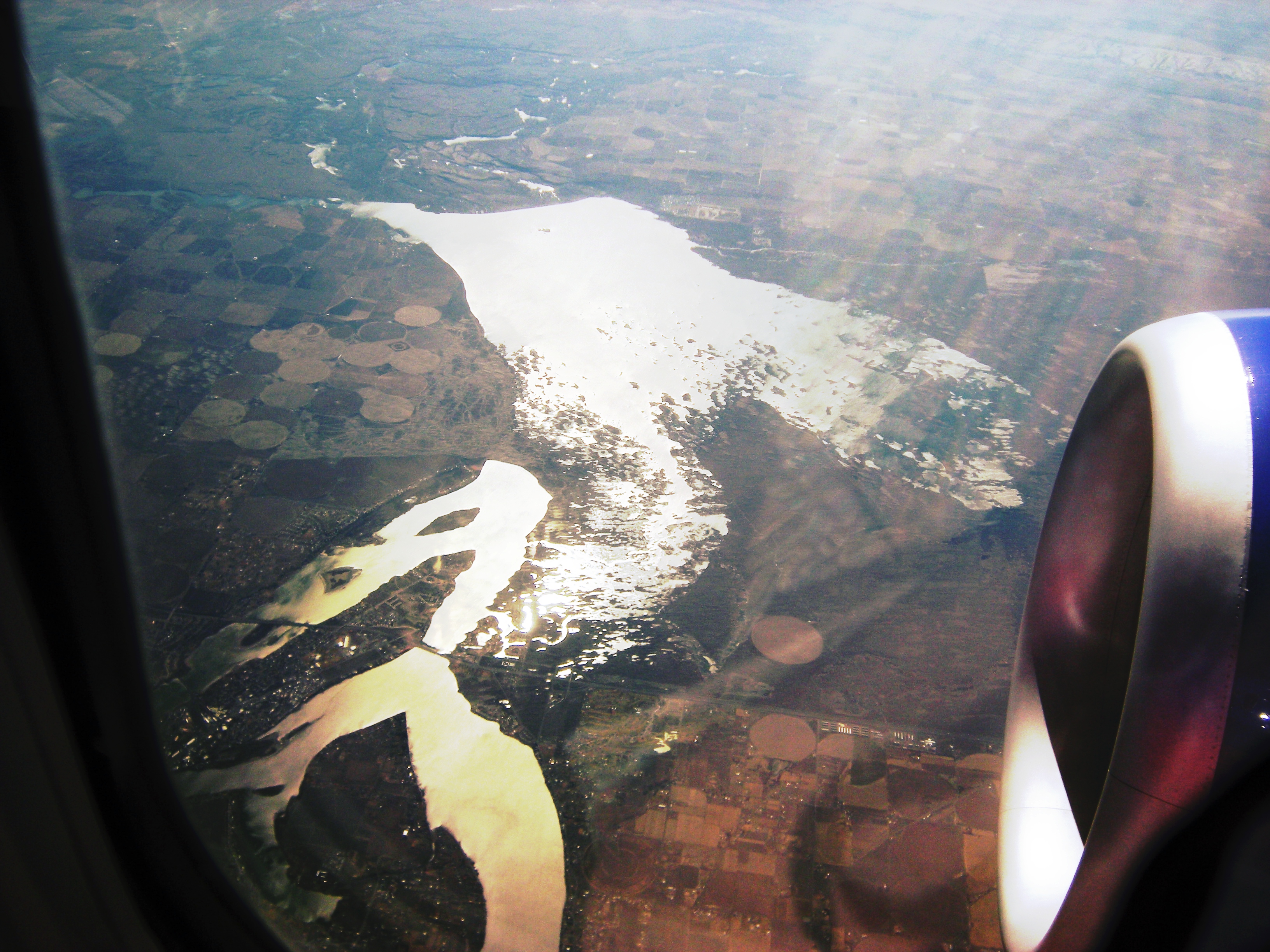
English: Aerial photo of Moses Lake & Potholes Reservoir, Washington, USA. Moses Lake is at lower left; Potholes Reservoir at center. The view is looking roughly southward. The road cutting across Moses Lake is Interstate 90.
|
| ⧼wm-license-information-date⧽ | 2009 |
| ⧼wm-license-information-source⧽ | Photo by Joe Mabel |
| ⧼wm-license-information-author⧽ | Joe Mabel |
| ⧼wm-license-information-permission⧽ (⧼wm-license-information-permission-reusing-text⧽) |
GFDL granted by photographer |
| ⧼wm-license-information-other-versions⧽ |
File:Aerial view of Moses Lake & Potholes Reservoir, Washington 01.jpg is raw. File:Aerial view of Moses Lake & Potholes Reservoir, Washington 01A.jpg is colormapped to enhance contrast. |
ترخيص
|

تاريخ الملف
اضغط على زمن/تاريخ لرؤية الملف كما بدا في هذا الزمن.
| زمن/تاريخ | صورة مصغرة | الأبعاد | مستخدم | تعليق | |
|---|---|---|---|---|---|
| حالي | ★ مراجعة معتمدة 18:01، 20 أكتوبر 2023 | | 3٬264 × 2٬448 (3٫02 ميجابايت) | Pastakhov (نقاش | مساهمات) | Upload https://upload.wikimedia.org/wikipedia/commons/a/ab/Aerial_view_of_Moses_Lake_%26_Potholes_Reservoir%2C_Washington_01A.jpg |
لا يمكنك استبدال هذا الملف.
وصلات
لا يوجد صفحات تصل لهذه الصورة.