ملف:Aerial photographs of Gornouralsky - 6.jpg
حجم هذه المعاينة: 800 × 450 بكسل. البعدان الآخران: 2٬560 × 1٬440 بكسل | 5٬472 × 3٬078 بكسل.
الملف الأصلي (5٬472 × 3٬078 بكسل حجم الملف: 5٫91 ميجابايت، نوع MIME: image/jpeg)
وصف قصير
| ⧼wm-license-information-description⧽ |
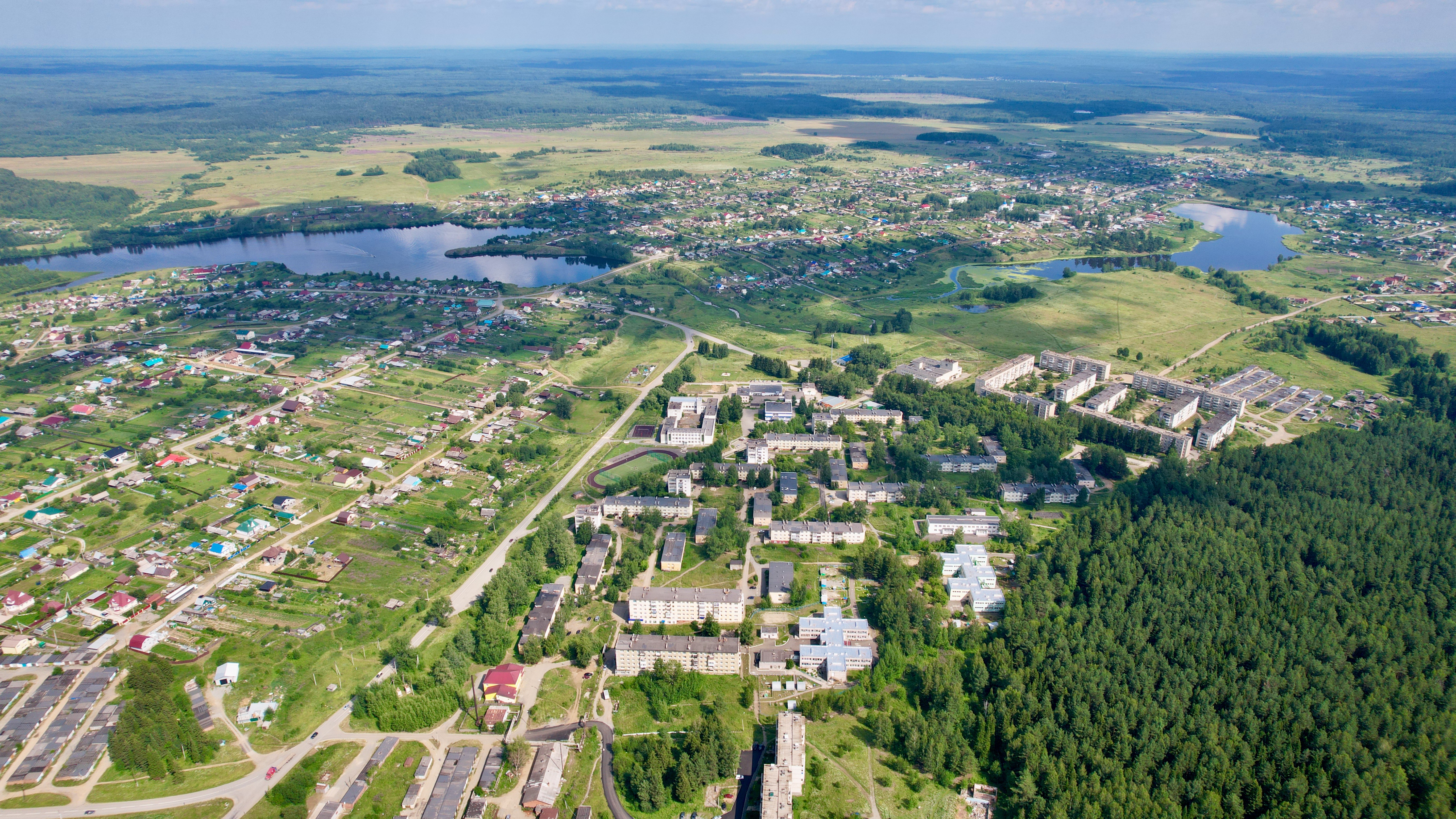
قالب:Country data Вид с высоты на посёлок Горноуральский и село Лая |
| ⧼wm-license-information-date⧽ | 2022, {{time}} – invalid date format 55 (help) |
| ⧼wm-license-information-source⧽ | ⧼Wm-license-own-work⧽ |
| ⧼wm-license-information-author⧽ | Vyacheslav Bukharov |
58°03′46″N 59°53′32″E / 58.062878°N 59.892314°E
ترخيص
|
تاريخ الملف
اضغط على زمن/تاريخ لرؤية الملف كما بدا في هذا الزمن.
| زمن/تاريخ | صورة مصغرة | الأبعاد | مستخدم | تعليق | |
|---|---|---|---|---|---|
| حالي | ★ مراجعة معتمدة 01:44، 29 نوفمبر 2023 | | 5٬472 × 3٬078 (5٫91 ميجابايت) | Pastakhov (نقاش | مساهمات) | Upload https://upload.wikimedia.org/wikipedia/commons/f/fa/Aerial_photographs_of_Gornouralsky_-_6.jpg |
لا يمكنك استبدال هذا الملف.
وصلات
لا يوجد صفحات تصل لهذه الصورة.