ملف:Aerial photograph of the Little River at Snowville, Virginia.jpg
حجم هذه المعاينة: 800 × 600 بكسل. البعدان الآخران: 2٬560 × 1٬920 بكسل | 2٬816 × 2٬112 بكسل.
الملف الأصلي (2٬816 × 2٬112 بكسل حجم الملف: 2٫41 ميجابايت، نوع MIME: image/jpeg)
وصف قصير
| ⧼wm-license-information-description⧽ |
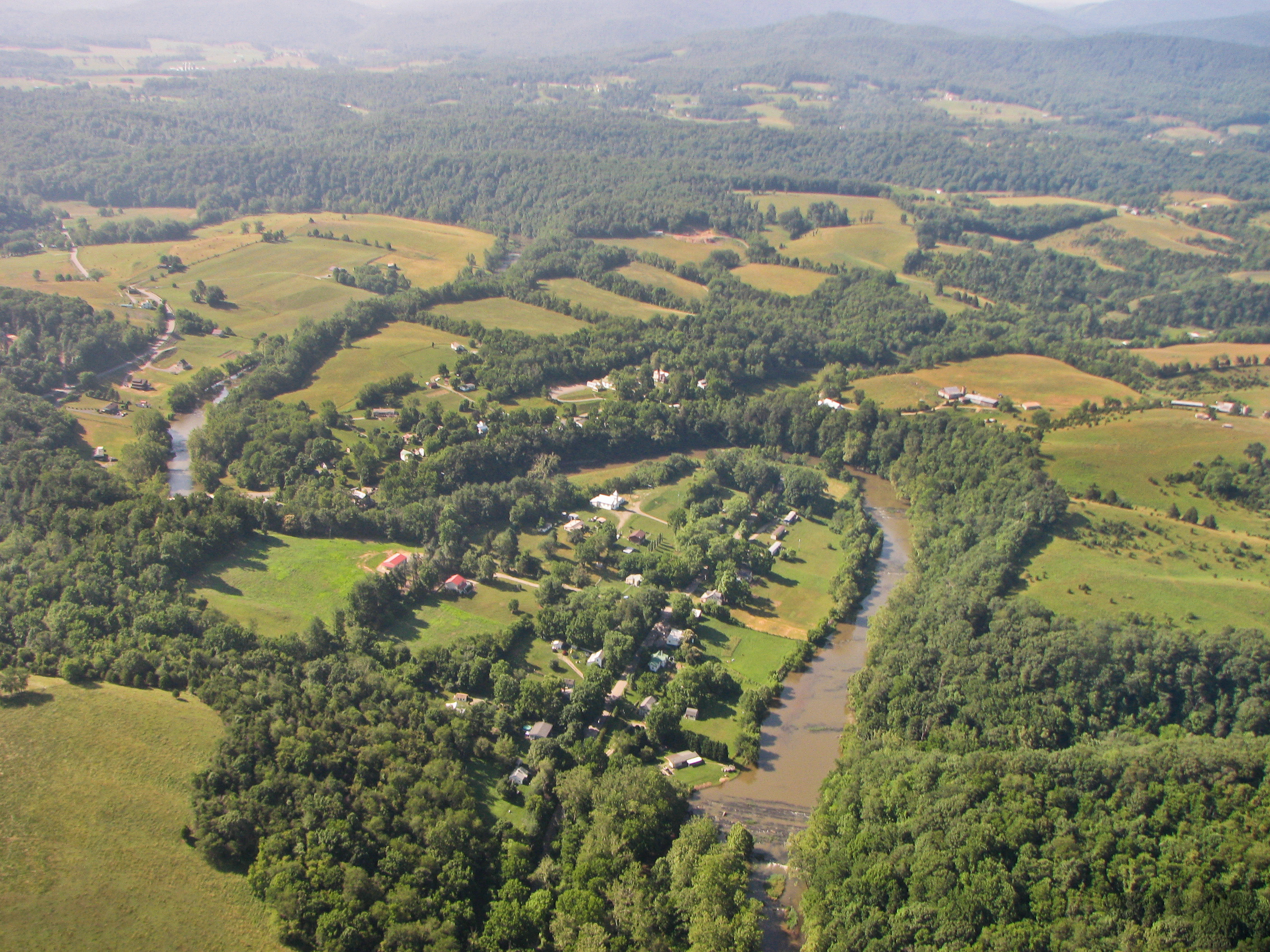
English: An aerial photograph of the Little River as it winds its way through the communities of Snowville and Graysontown along the Pulaski and Montgomery county line in southwest Virginia. The photo was shot looking toward the south-southeast with the Little River flowing north (towards the bottom of the image). Copyright 2010 by Anthony Phillips/WX4SNO.
|
| ⧼wm-license-information-date⧽ | 2010 |
| ⧼wm-license-information-source⧽ | ⧼Wm-license-own-work⧽ |
| ⧼wm-license-information-author⧽ | WX4SNO |
Taken near 37° 02' 29"N and 80° 33' 40"W at an altitude of ~500 feet AGL.
ترخيص
|
تاريخ الملف
اضغط على زمن/تاريخ لرؤية الملف كما بدا في هذا الزمن.
| زمن/تاريخ | صورة مصغرة | الأبعاد | مستخدم | تعليق | |
|---|---|---|---|---|---|
| حالي | ★ مراجعة معتمدة 08:51، 7 نوفمبر 2023 | | 2٬816 × 2٬112 (2٫41 ميجابايت) | Pastakhov (نقاش | مساهمات) | Upload https://upload.wikimedia.org/wikipedia/commons/1/1f/Aerial_photograph_of_the_Little_River_at_Snowville%2C_Virginia.jpg |
لا يمكنك استبدال هذا الملف.
وصلات
لا يوجد صفحات تصل لهذه الصورة.