ملف:Aerial image of the Marl-Loemühle airfield.jpg
حجم هذه المعاينة: 800 × 545 بكسل. البعدان الآخران: 2٬560 × 1٬745 بكسل | 4٬400 × 3٬000 بكسل.
الملف الأصلي (4٬400 × 3٬000 بكسل حجم الملف: 4٫79 ميجابايت، نوع MIME: image/jpeg)
وصف قصير
| ⧼wm-license-information-description⧽ |
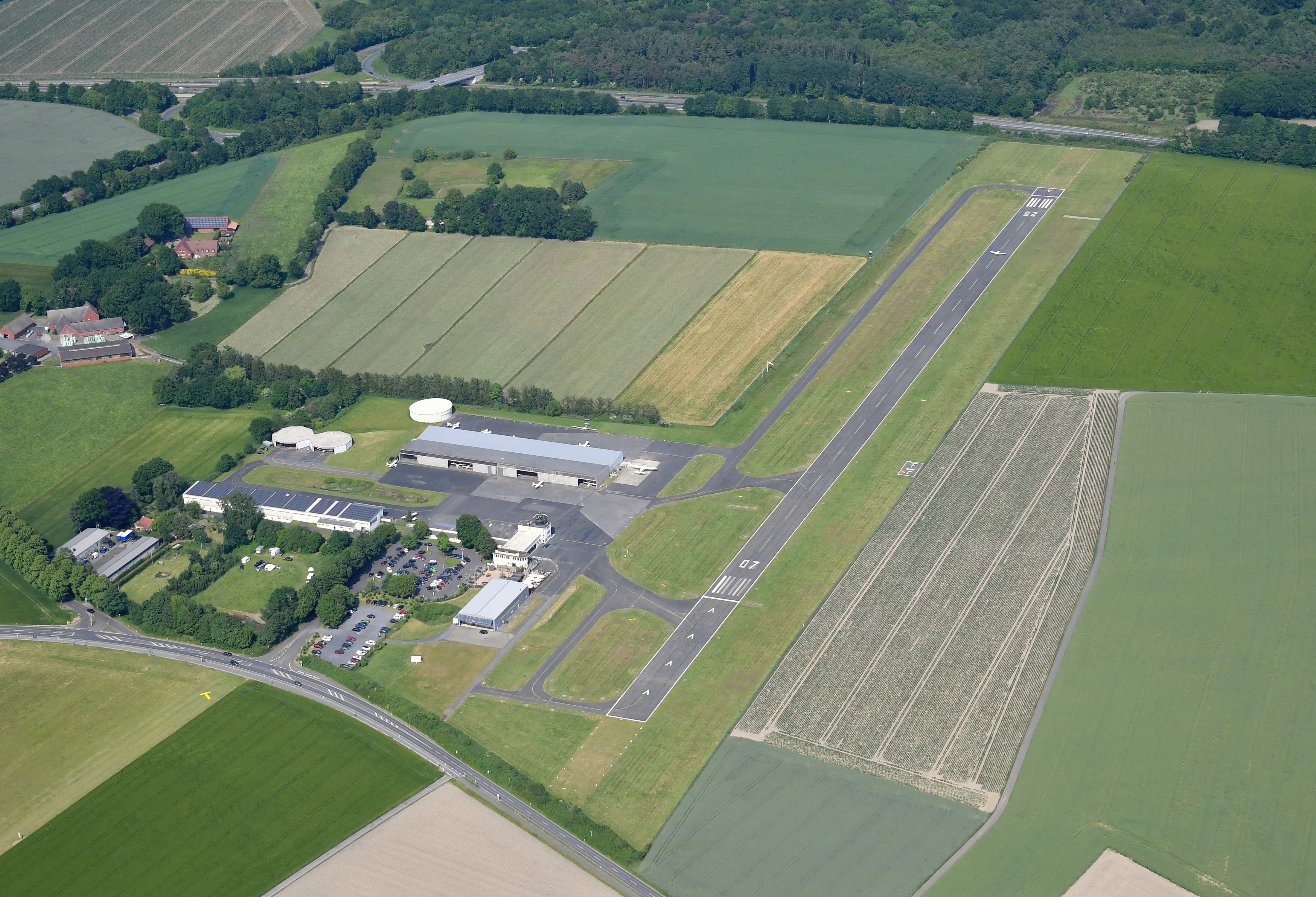
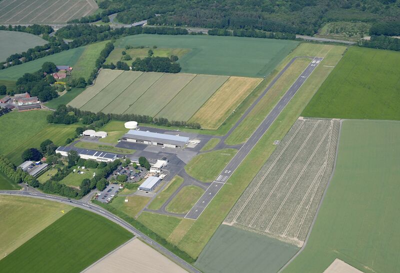
English: Aerial image of the Marl-Loemühle airfield
Deutsch: Luftbild des Flugplatzes Marl-Loemühle
|
| ⧼wm-license-information-date⧽ | 2023, {{time}} – invalid date format 20 (help) |
| ⧼wm-license-information-source⧽ | ⧼Wm-license-own-work⧽ |
| ⧼wm-license-information-author⧽ | Carsten Steger |
51°38′27″N 7°08′41″E / 51.640833°N 7.144722°E قالب:Object location
ترخيص
|
تاريخ الملف
اضغط على زمن/تاريخ لرؤية الملف كما بدا في هذا الزمن.
| زمن/تاريخ | صورة مصغرة | الأبعاد | مستخدم | تعليق | |
|---|---|---|---|---|---|
| حالي | ★ مراجعة معتمدة 17:51، 13 نوفمبر 2023 | | 4٬400 × 3٬000 (4٫79 ميجابايت) | Pastakhov (نقاش | مساهمات) | Upload https://upload.wikimedia.org/wikipedia/commons/2/20/Aerial_image_of_the_Marl-Loem%C3%BChle_airfield.jpg |
لا يمكنك استبدال هذا الملف.
وصلات
لا يوجد صفحات تصل لهذه الصورة.