ملف:Aerial image of the Chiemsee municipality.jpg
حجم هذه المعاينة: 800 × 533 بكسل. البعدان الآخران: 2٬560 × 1٬707 بكسل | 5٬568 × 3٬712 بكسل.
الملف الأصلي (5٬568 × 3٬712 بكسل حجم الملف: 4٫68 ميجابايت، نوع MIME: image/jpeg)
وصف قصير
| ⧼wm-license-information-description⧽ |
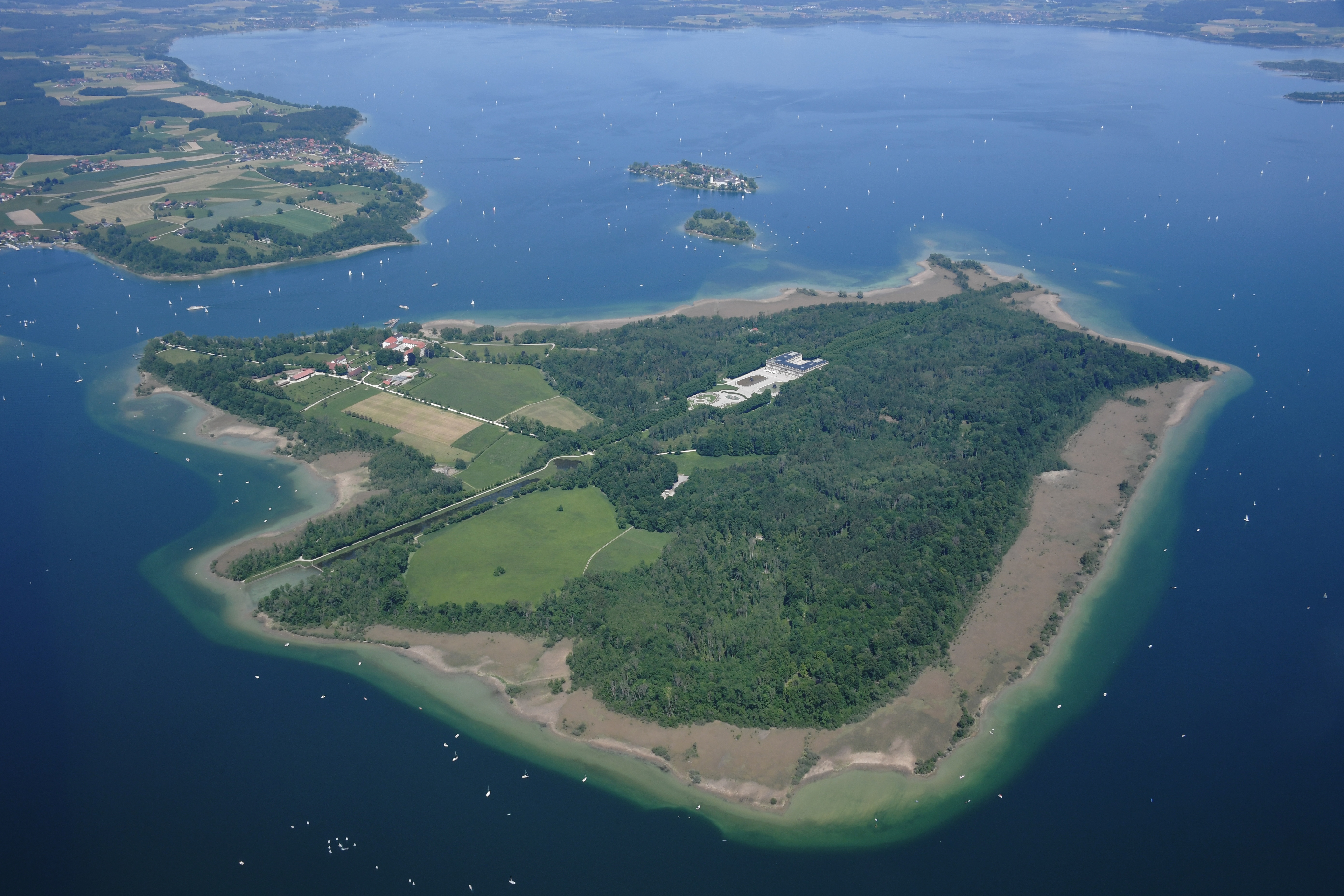
English: Aerial image of the Chiemsee municipality
Deutsch: Luftbild der Gemeinde Chiemsee
|
| ⧼wm-license-information-date⧽ | 2021, {{time}} – invalid date format 53 (help) |
| ⧼wm-license-information-source⧽ | ⧼Wm-license-own-work⧽ |
| ⧼wm-license-information-author⧽ | Carsten Steger |
47°51′10″N 12°22′41″E / 47.852678°N 12.378163°E قالب:Object location
ترخيص
|
تاريخ الملف
اضغط على زمن/تاريخ لرؤية الملف كما بدا في هذا الزمن.
| زمن/تاريخ | صورة مصغرة | الأبعاد | مستخدم | تعليق | |
|---|---|---|---|---|---|
| حالي | ★ مراجعة معتمدة 03:00، 9 أكتوبر 2023 | | 5٬568 × 3٬712 (4٫68 ميجابايت) | Pastakhov (نقاش | مساهمات) | Upload https://upload.wikimedia.org/wikipedia/commons/2/22/Aerial_image_of_the_Chiemsee_municipality.jpg |
لا يمكنك استبدال هذا الملف.
وصلات
لا يوجد صفحات تصل لهذه الصورة.