ملف:Aerial image of the Bitburg airfield.jpg
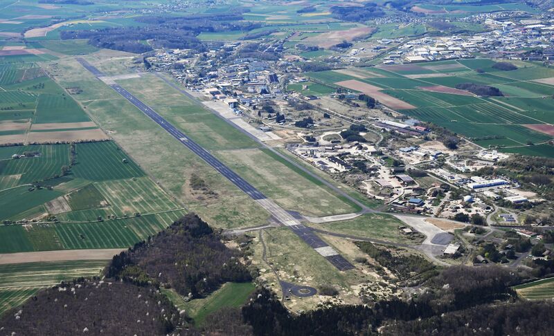
حجم هذه المعاينة: 800 × 486 بكسل. البعدان الآخران: 2٬560 × 1٬556 بكسل | 5٬100 × 3٬100 بكسل.
الملف الأصلي (5٬100 × 3٬100 بكسل حجم الملف: 6٫87 ميجابايت، نوع MIME: image/jpeg)
وصف قصير
| ⧼wm-license-information-description⧽ |
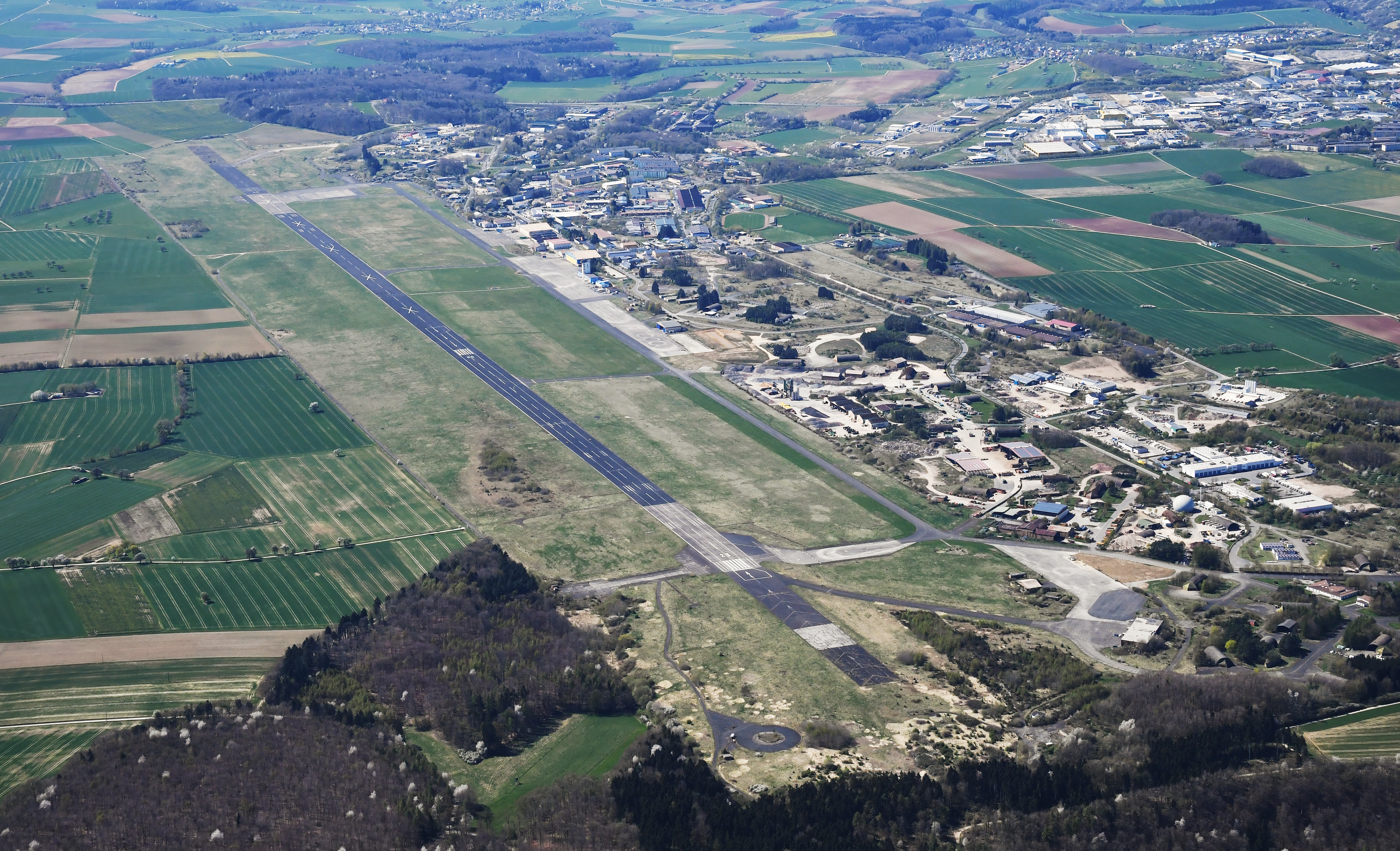
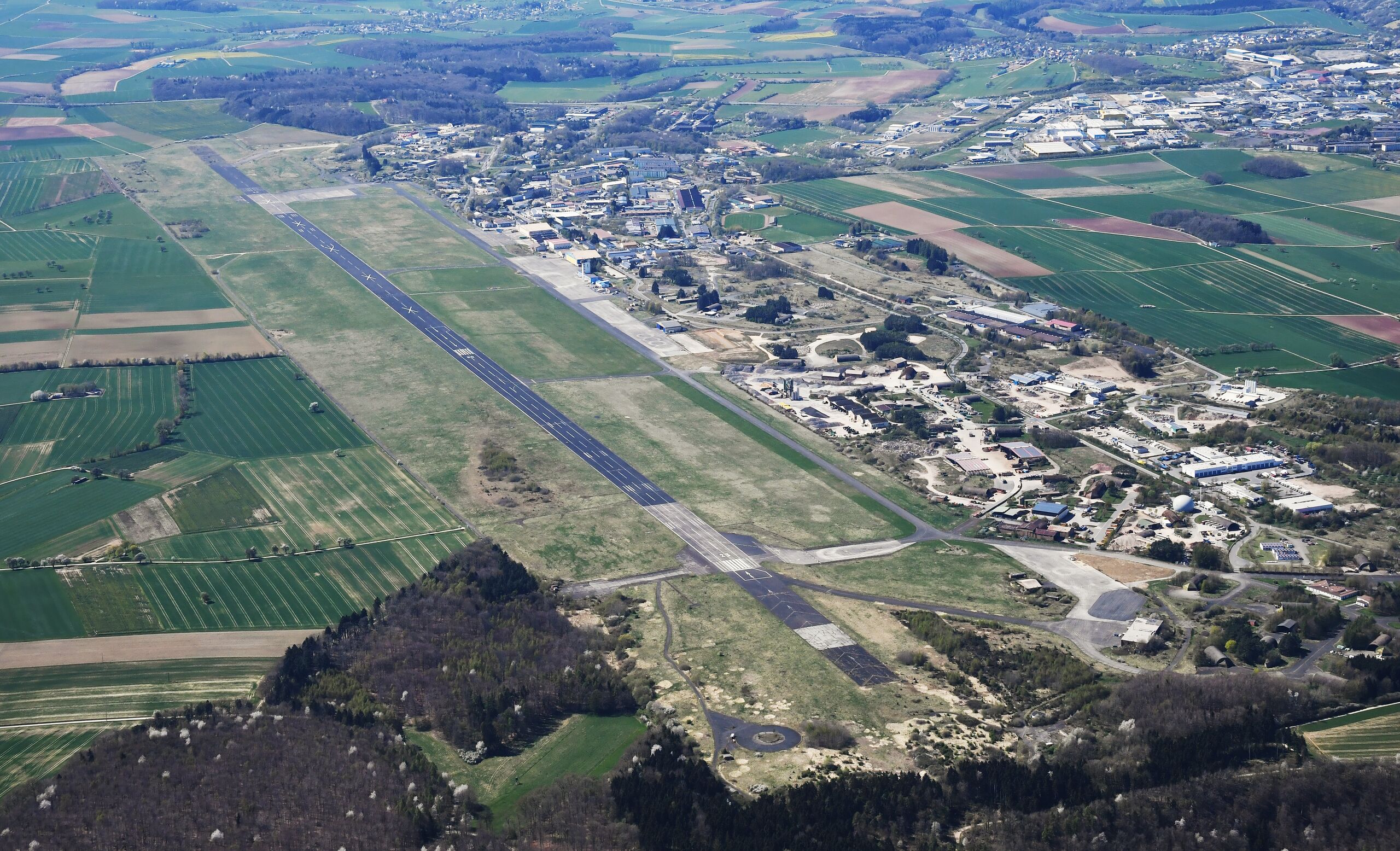
English: Aerial image of the Bitburg airfield
Deutsch: Luftbild des Flugplatzes Bitburg
|
| ⧼wm-license-information-date⧽ | 2022, {{time}} – invalid date format 33 (help) |
| ⧼wm-license-information-source⧽ | ⧼Wm-license-own-work⧽ |
| ⧼wm-license-information-author⧽ | Carsten Steger |
49°57′19″N 6°36′51″E / 49.95519°N 6.614044°E قالب:Object location
ترخيص
|
تاريخ الملف
اضغط على زمن/تاريخ لرؤية الملف كما بدا في هذا الزمن.
| زمن/تاريخ | صورة مصغرة | الأبعاد | مستخدم | تعليق | |
|---|---|---|---|---|---|
| حالي | ★ مراجعة معتمدة 17:52، 26 أكتوبر 2023 | | 5٬100 × 3٬100 (6٫87 ميجابايت) | Pastakhov (نقاش | مساهمات) | Upload https://upload.wikimedia.org/wikipedia/commons/e/ec/Aerial_image_of_the_Bitburg_airfield.jpg |
لا يمكنك استبدال هذا الملف.
وصلات
لا يوجد صفحات تصل لهذه الصورة.