ملف:Acacia Place, St John's Wood - geograph.org.uk - 549171.jpg
لا توجد دقة أعلى متوفرة.
Acacia_Place,_St_John's_Wood_-_geograph.org.uk_-_549171.jpg (640 × 480 بكسل حجم الملف: 148 كيلوبايت، نوع MIME: image/jpeg)
وصف قصير
| ⧼wm-license-information-description⧽ |
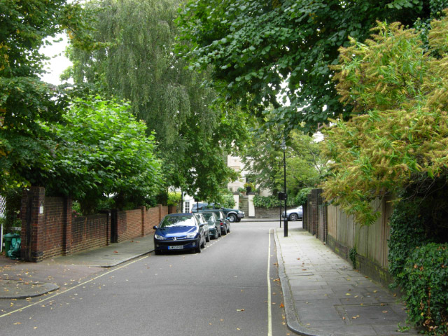
English: Acacia Place, St John's Wood St John's Wood, once woodland in the possession of the Knights Templars of St John of Jerusalem, is now one of London's most affluent districts. Its spacious villas and leafy streets give it a quiet suburban ambience that belies its inner city location. Acacia Place is a short cul-de-sac off Acacia Road.
|
| ⧼wm-license-information-date⧽ | 2007 |
| ⧼wm-license-information-source⧽ | From geograph.org.uk |
| ⧼wm-license-information-author⧽ | Stephen McKay |
| ⧼wm-license-cc-attribution⧽ (قالب:I18n/Credit line) |
Stephen McKay / Acacia Place, St John's Wood / |
51°32′10″N 0°10′20″W / 51.53602°N 0.1721°W قالب:Object location
_heading:135)
ترخيص
تاريخ الملف
اضغط على زمن/تاريخ لرؤية الملف كما بدا في هذا الزمن.
| زمن/تاريخ | صورة مصغرة | الأبعاد | مستخدم | تعليق | |
|---|---|---|---|---|---|
| حالي | ★ مراجعة معتمدة 09:21، 16 أكتوبر 2023 | | 640 × 480 (148 كيلوبايت) | Pastakhov (نقاش | مساهمات) | Upload https://upload.wikimedia.org/wikipedia/commons/3/30/Acacia_Place%2C_St_John%27s_Wood_-_geograph.org.uk_-_549171.jpg |
لا يمكنك استبدال هذا الملف.
وصلات
لا يوجد صفحات تصل لهذه الصورة.