ملف:A pictorial map of loveland.tif

حجم معاينة PNG لذلك الملف ذي الامتداد TIF: 800 × 550 بكسل. البعد الآخر: 2٬560 × 1٬759 بكسل.
الملف الأصلي (10٬545 × 7٬245 بكسل حجم الملف: 218٫6 ميجابايت، نوع MIME: image/tiff)
وصف قصير
| ⧼wm-license-information-description⧽ |
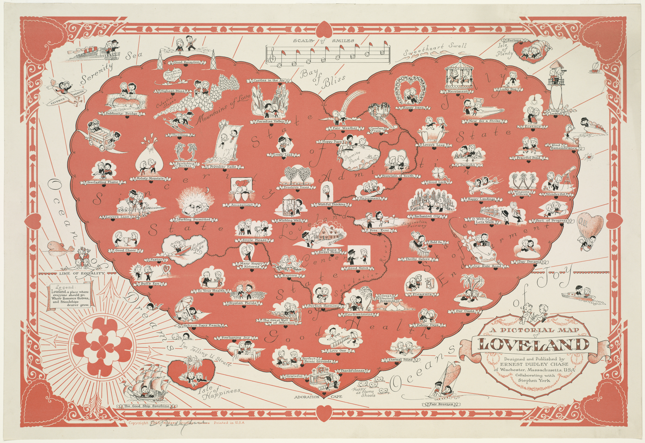
English: A pictorial map of loveland
|
| ⧼wm-license-information-date⧽ | circa 1943 |
| ⧼wm-license-information-source⧽ | https://collections.leventhalmap.org/search/commonwealth:st74cw28p |
| ⧼wm-license-information-author⧽ | Chase, Ernest Dudley, 1878 - 1966 |
ترخيص
تاريخ الملف
اضغط على زمن/تاريخ لرؤية الملف كما بدا في هذا الزمن.
| زمن/تاريخ | صورة مصغرة | الأبعاد | مستخدم | تعليق | |
|---|---|---|---|---|---|
| حالي | ★ مراجعة معتمدة 17:24، 12 أكتوبر 2023 |  | 10٬545 × 7٬245 (218٫6 ميجابايت) | Pastakhov (نقاش | مساهمات) | Upload https://upload.wikimedia.org/wikipedia/commons/6/6e/A_pictorial_map_of_loveland.tif |
لا يمكنك استبدال هذا الملف.
وصلات
لا يوجد صفحات تصل لهذه الصورة.