ملف:77th Flying Training Wing (World War II) - Map.png
لا توجد دقة أعلى متوفرة.
77th_Flying_Training_Wing_(World_War_II)_-_Map.png (800 × 525 بكسل حجم الملف: 164 كيلوبايت، نوع MIME: image/png)
وصف قصير
| ⧼wm-license-information-description⧽ |
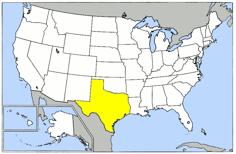
English: 77th Flying Training Wing (World War II) - Map Based upon https://commons.wikimedia.org/wiki/File:Map_of_USA.png for basemap; Lineage and History of 31st Flying Training Wing (World War II); United States Air Force Historical Research Agency Document, Maxwell AFB, Alabama
|
| ⧼wm-license-information-date⧽ | 2014 |
| ⧼wm-license-information-source⧽ | ⧼Wm-license-own-work⧽ |
| ⧼wm-license-information-author⧽ | Bwmoll3 |
ترخيص
تاريخ الملف
اضغط على زمن/تاريخ لرؤية الملف كما بدا في هذا الزمن.
| زمن/تاريخ | صورة مصغرة | الأبعاد | مستخدم | تعليق | |
|---|---|---|---|---|---|
| حالي | ★ مراجعة معتمدة 19:35، 3 ديسمبر 2023 | | 800 × 525 (164 كيلوبايت) | Pastakhov (نقاش | مساهمات) | Upload https://upload.wikimedia.org/wikipedia/commons/7/71/77th_Flying_Training_Wing_%28World_War_II%29_-_Map.png |
لا يمكنك استبدال هذا الملف.
وصلات
لا يوجد صفحات تصل لهذه الصورة.
_-_Map.png&oldid=3679228)