ملف:2022-04-23-Chemnitz-Michaelstraße-5.jpg
حجم هذه المعاينة: 800 × 450 بكسل. البعدان الآخران: 2٬560 × 1٬440 بكسل | 4٬608 × 2٬592 بكسل.
الملف الأصلي (4٬608 × 2٬592 بكسل حجم الملف: 5٫42 ميجابايت، نوع MIME: image/jpeg)
وصف قصير
| ⧼wm-license-information-description⧽ |
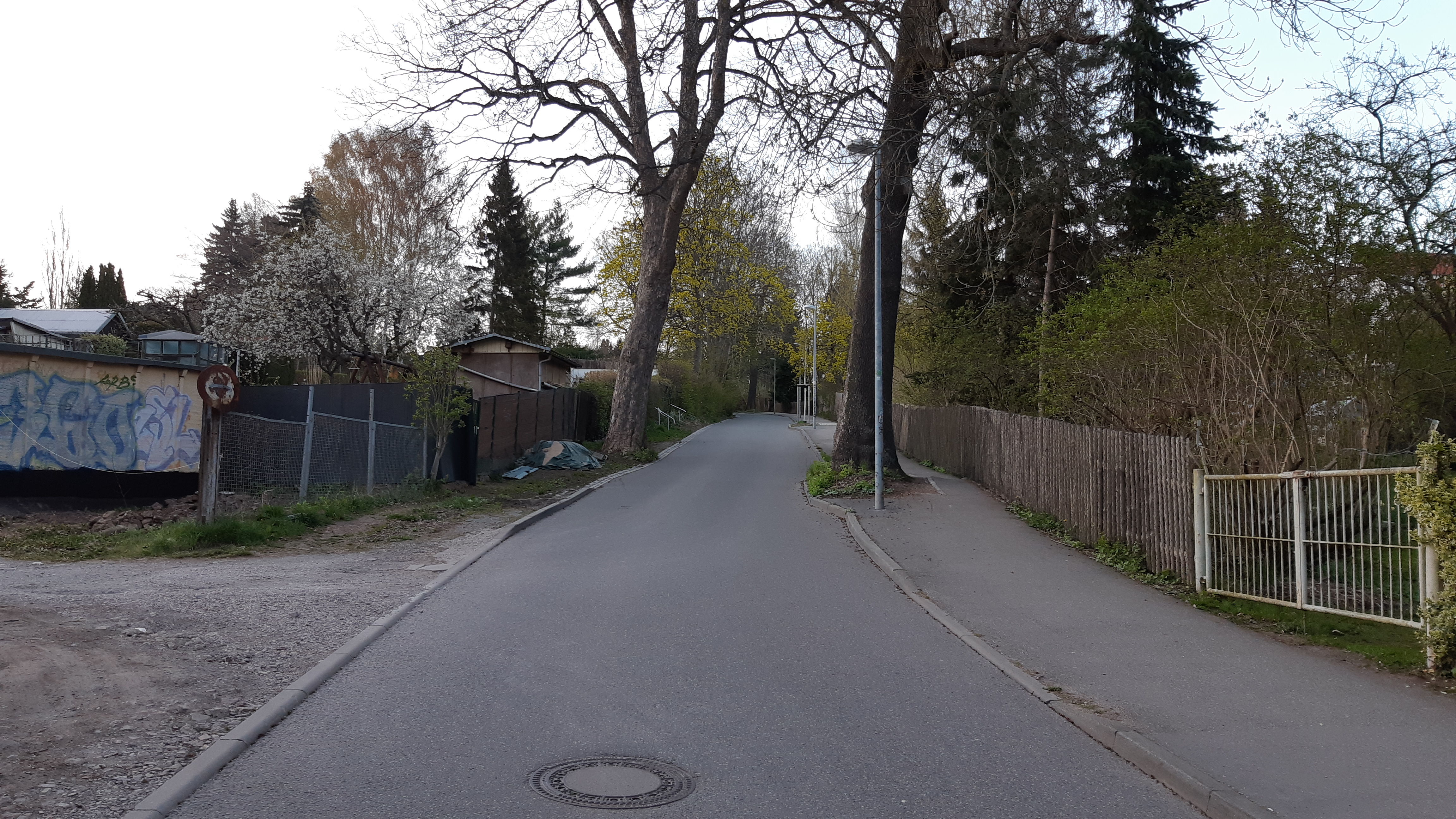
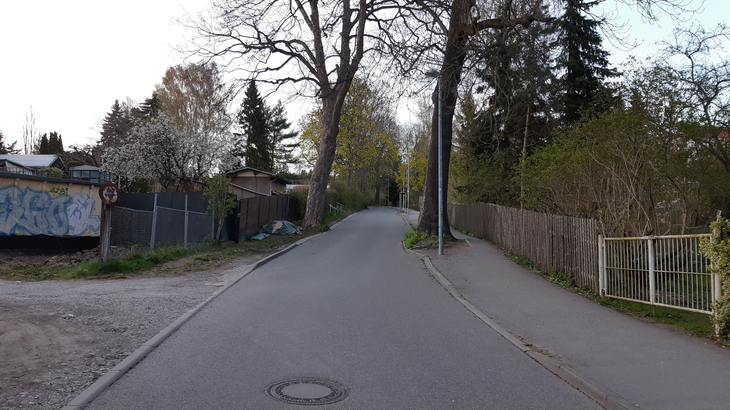
Deutsch: Blick entlang der Michaelstraße in Chemnitz, mittlerer Abschnitt, Blick Richtung Norden. Die Michaelstraße markiert im überwiegenden Teil ihres Verlaufs die Grenze zwischen den Stadtteilen Altendorf (westlich von ihr) und Kaßberg (östlich).
|
| ⧼wm-license-information-date⧽ | 2022, {{time}} – invalid date format 05 (help) |
| ⧼wm-license-information-source⧽ | ⧼Wm-license-own-work⧽ |
| ⧼wm-license-information-author⧽ | Kleeblatt187 |
50°49′35″N 12°53′44″E / 50.826318°N 12.895545°E
ترخيص
|
تاريخ الملف
اضغط على زمن/تاريخ لرؤية الملف كما بدا في هذا الزمن.
| زمن/تاريخ | صورة مصغرة | الأبعاد | مستخدم | تعليق | |
|---|---|---|---|---|---|
| حالي | ★ مراجعة معتمدة 11:40، 11 نوفمبر 2023 | | 4٬608 × 2٬592 (5٫42 ميجابايت) | Pastakhov (نقاش | مساهمات) | Upload https://upload.wikimedia.org/wikipedia/commons/9/91/2022-04-23-Chemnitz-Michaelstra%C3%9Fe-5.jpg |
لا يمكنك استبدال هذا الملف.
وصلات
لا يوجد صفحات تصل لهذه الصورة.