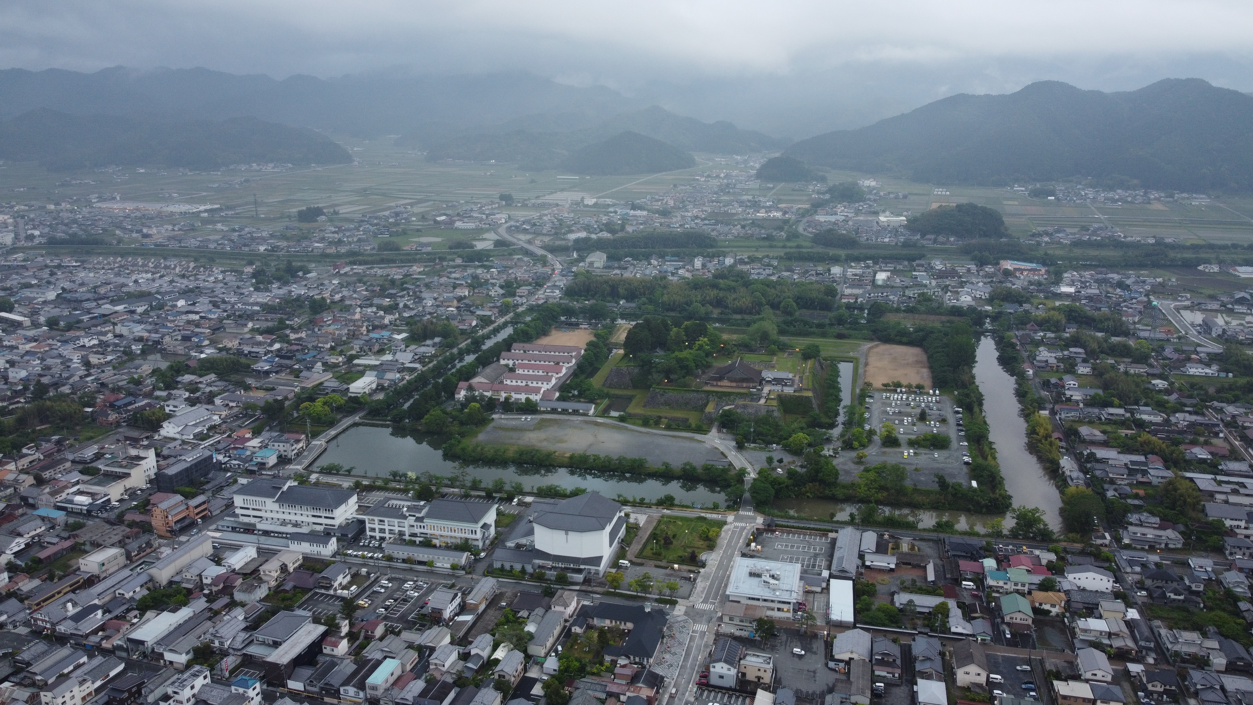
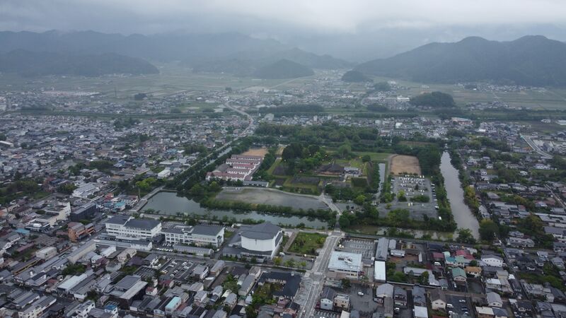
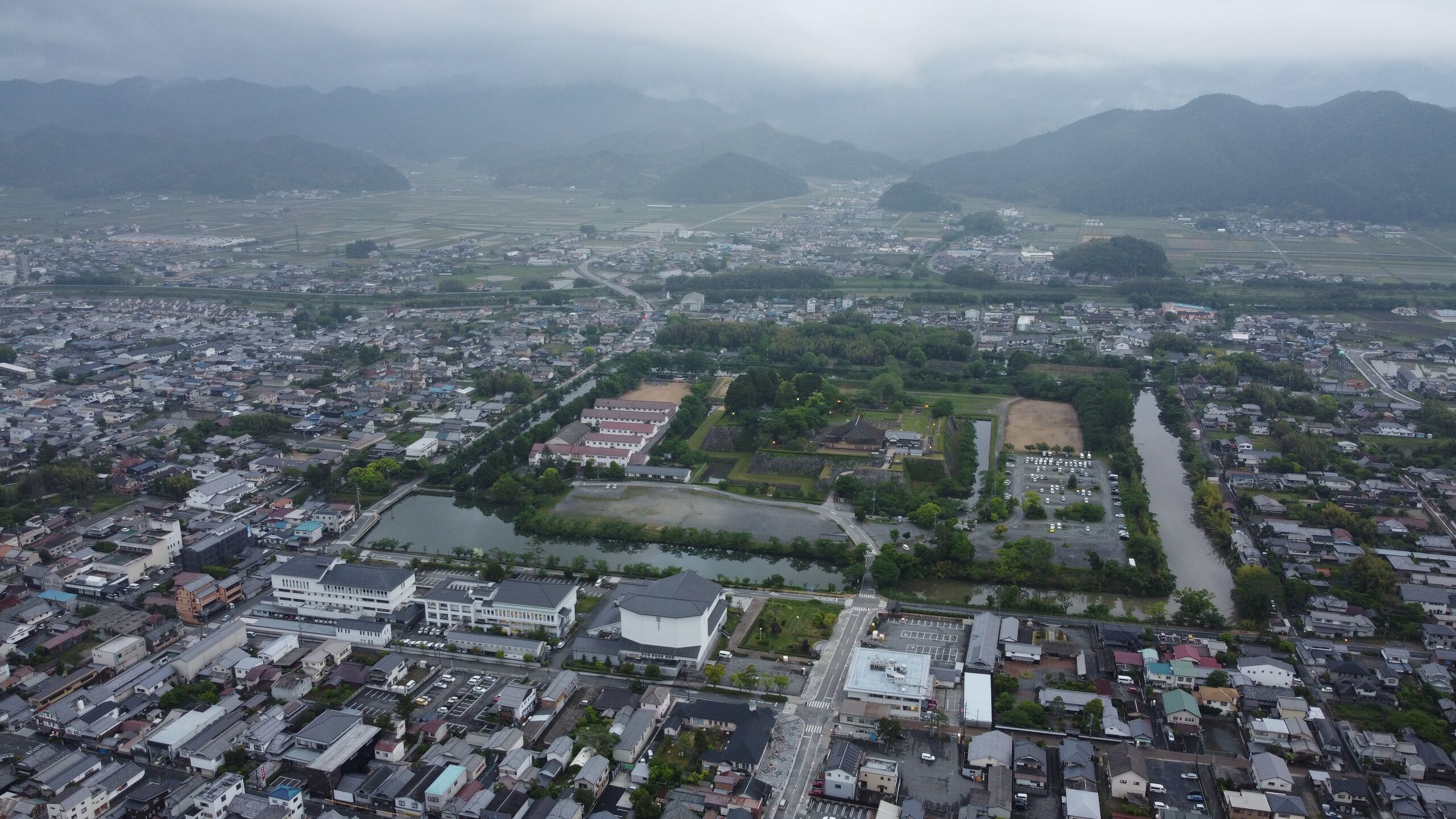
ملف:2021-05-19 Tambasasayama,(兵庫県丹波篠山市・篠山盆地・篠山城)空撮 DJI 0233.jpg
حجم هذه المعاينة: 800 × 450 بكسل. البعدان الآخران: 2٬560 × 1٬440 بكسل | 4٬000 × 2٬250 بكسل.
الملف الأصلي (4٬000 × 2٬250 بكسل حجم الملف: 4٫16 ميجابايت، نوع MIME: image/jpeg)
وصف قصير
| ⧼wm-license-information-description⧽ |
(Japanese) |
| ⧼wm-license-information-date⧽ | 2021, {{time}} – invalid date format 37 (help) |
| ⧼wm-license-information-source⧽ | ⧼Wm-license-own-work⧽ |
| ⧼wm-license-information-author⧽ | 松岡明芳 |
35°04′44″N 135°12′58″E / 35.078855°N 135.216105°E
%E7%A9%BA%E6%92%AE_DJI_0233.jpg¶ms=35.078855_N_135.216105_E_)
ترخيص
|
تاريخ الملف
اضغط على زمن/تاريخ لرؤية الملف كما بدا في هذا الزمن.
| زمن/تاريخ | صورة مصغرة | الأبعاد | مستخدم | تعليق | |
|---|---|---|---|---|---|
| حالي | ★ مراجعة معتمدة 04:50، 20 أكتوبر 2023 | | 4٬000 × 2٬250 (4٫16 ميجابايت) | Pastakhov (نقاش | مساهمات) | Upload https://upload.wikimedia.org/wikipedia/commons/9/98/2021-05-19_Tambasasayama%2C%28%E5%85%B5%E5%BA%AB%E7%9C%8C%E4%B8%B9%E6%B3%A2%E7%AF%A0%E5%B1%B1%E5%B8%82%E3%83%BB%E7%AF%A0%E5%B1%B1%E7%9B%86%E5%9C%B0%E3%83%BB%E7%AF%A0%E5%B1%B1%E5%9F%8E%29%E7%A9%BA%E6%92%AE_DJI_0233.jpg |
لا يمكنك استبدال هذا الملف.
وصلات
لا يوجد صفحات تصل لهذه الصورة.
空撮_DJI_0233.jpg&oldid=3189619)