ملف:20200228Landschaftsschutzgebiet Isar Landkreis München 09.jpg
حجم هذه المعاينة: 800 × 534 بكسل. البعدان الآخران: 2٬560 × 1٬709 بكسل | 6٬016 × 4٬016 بكسل.
الملف الأصلي (6٬016 × 4٬016 بكسل حجم الملف: 15٫31 ميجابايت، نوع MIME: image/jpeg)
وصف قصير
| ⧼wm-license-information-description⧽ |
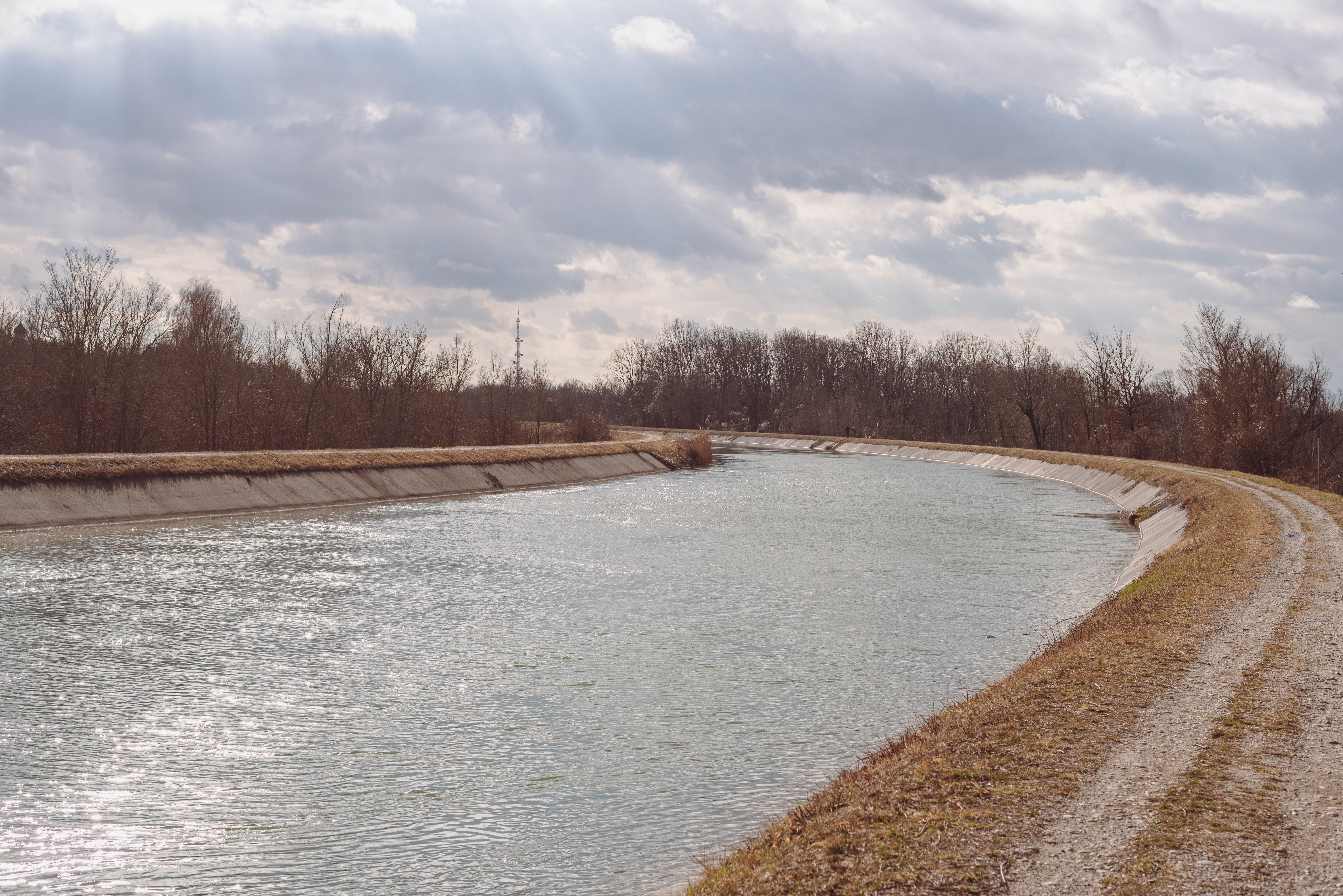
Deutsch: Der Mittlere Isar Kanal im Landschaftsschutzgebiet LSG-00384.01 bei Unterföhring. Hinter den Bäumen ist der Sendeturm der BR-Sendeanlage Freimann sichtbar.
English: The Mittlerer Isar Kanal in the protected landscape area LSG-00384.01 in Unterföhring. Behind the trees one can see the transmission tower of the BR Freimann.
|
| ⧼wm-license-information-date⧽ | قالب:Taken on |
| ⧼wm-license-information-source⧽ | ⧼Wm-license-own-work⧽ |
| ⧼wm-license-information-author⧽ | Flocci Nivis |
48°12′03″N 11°38′43″E / 48.20093°N 11.64516°E
ترخيص
|
تاريخ الملف
اضغط على زمن/تاريخ لرؤية الملف كما بدا في هذا الزمن.
| زمن/تاريخ | صورة مصغرة | الأبعاد | مستخدم | تعليق | |
|---|---|---|---|---|---|
| حالي | ★ مراجعة معتمدة 07:51، 2 ديسمبر 2023 | | 6٬016 × 4٬016 (15٫31 ميجابايت) | Pastakhov (نقاش | مساهمات) | Upload https://upload.wikimedia.org/wikipedia/commons/a/ab/20200228Landschaftsschutzgebiet_Isar_Landkreis_M%C3%BCnchen_09.jpg |
لا يمكنك استبدال هذا الملف.
وصلات
لا يوجد صفحات تصل لهذه الصورة.
معلومات الصورة (ميتا)
تصنيفات:
- Self-published work
- Images from Wiki Loves Earth 2020, DE-BY
- Schutz von Landschaftsteilen entlang der Isar in den Landkreisen Bad-Tölz-Wolfratshausen, München, Freising und Erding
- Mittlere-Isar-Kanal (Unterföhring)
- BR-Sendeanlage Freimann
- Uploaded via Campaign:wle-de-by
- Sun glitter
- Quality images by User:FlocciNivis
- Images by User:FlocciNivis
- Quality images of Bavaria
- Quality images from Wiki Loves Earth 2020 in Germany