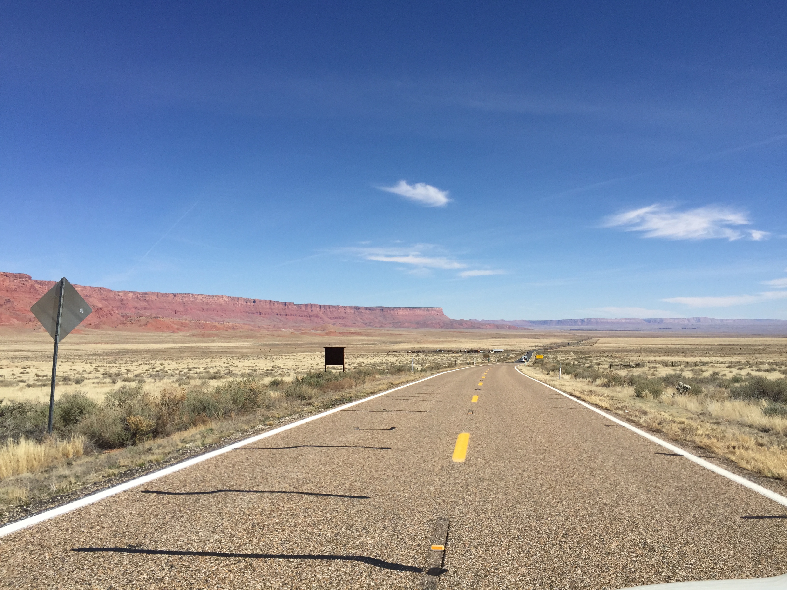
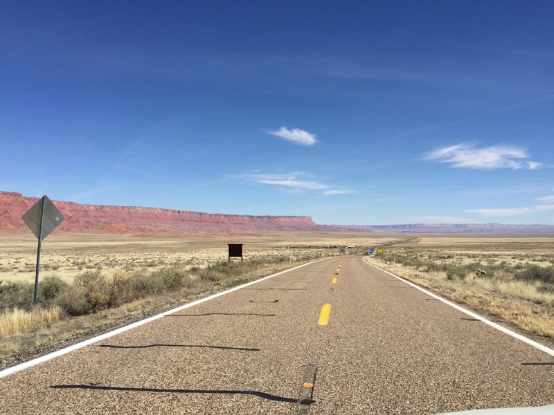
ملف:2016-03-20 13 55 17 View south along U.S. Route 89A near the west end of the Vermilion Cliffs about 42.2 miles north of U.S. Route 89 in Coconino County, Arizona.jpg
حجم هذه المعاينة: 800 × 600 بكسل. البعدان الآخران: 2٬560 × 1٬920 بكسل | 3٬264 × 2٬448 بكسل.
الملف الأصلي (3٬264 × 2٬448 بكسل حجم الملف: 2٫61 ميجابايت، نوع MIME: image/jpeg)
وصف قصير
| ⧼wm-license-information-description⧽ |
English: View south along U.S. Route 89A near the west end of the Vermilion Cliffs about 42.2 miles north of U.S. Route 89 in Coconino County, Arizona
|
| ⧼wm-license-information-date⧽ | قالب:Taken on |
| ⧼wm-license-information-source⧽ | ⧼Wm-license-own-work⧽ |
| ⧼wm-license-information-author⧽ | Famartin |
36°44′00″N 112°03′22″W / 36.733425°N 112.05619722222°W
ترخيص
|
تاريخ الملف
اضغط على زمن/تاريخ لرؤية الملف كما بدا في هذا الزمن.
| زمن/تاريخ | صورة مصغرة | الأبعاد | مستخدم | تعليق | |
|---|---|---|---|---|---|
| حالي | ★ مراجعة معتمدة 05:13، 25 نوفمبر 2023 | | 3٬264 × 2٬448 (2٫61 ميجابايت) | Pastakhov (نقاش | مساهمات) | Upload https://upload.wikimedia.org/wikipedia/commons/9/93/2016-03-20_13_55_17_View_south_along_U.S._Route_89A_near_the_west_end_of_the_Vermilion_Cliffs_about_42.2_miles_north_of_U.S._Route_89_in_Coconino_County%2C_Arizona.jpg |
لا يمكنك استبدال هذا الملف.
وصلات
لا يوجد صفحات تصل لهذه الصورة.