ملف:2011 - B4060 Wickwar High Street - geograph.org.uk - 2525258.jpg

حجم هذه المعاينة: 800 × 533 بكسل. البعدان الآخران: 2٬560 × 1٬707 بكسل | 4٬752 × 3٬168 بكسل.
الملف الأصلي (4٬752 × 3٬168 بكسل حجم الملف: 4٫22 ميجابايت، نوع MIME: image/jpeg)
وصف قصير
| ⧼wm-license-information-description⧽ |
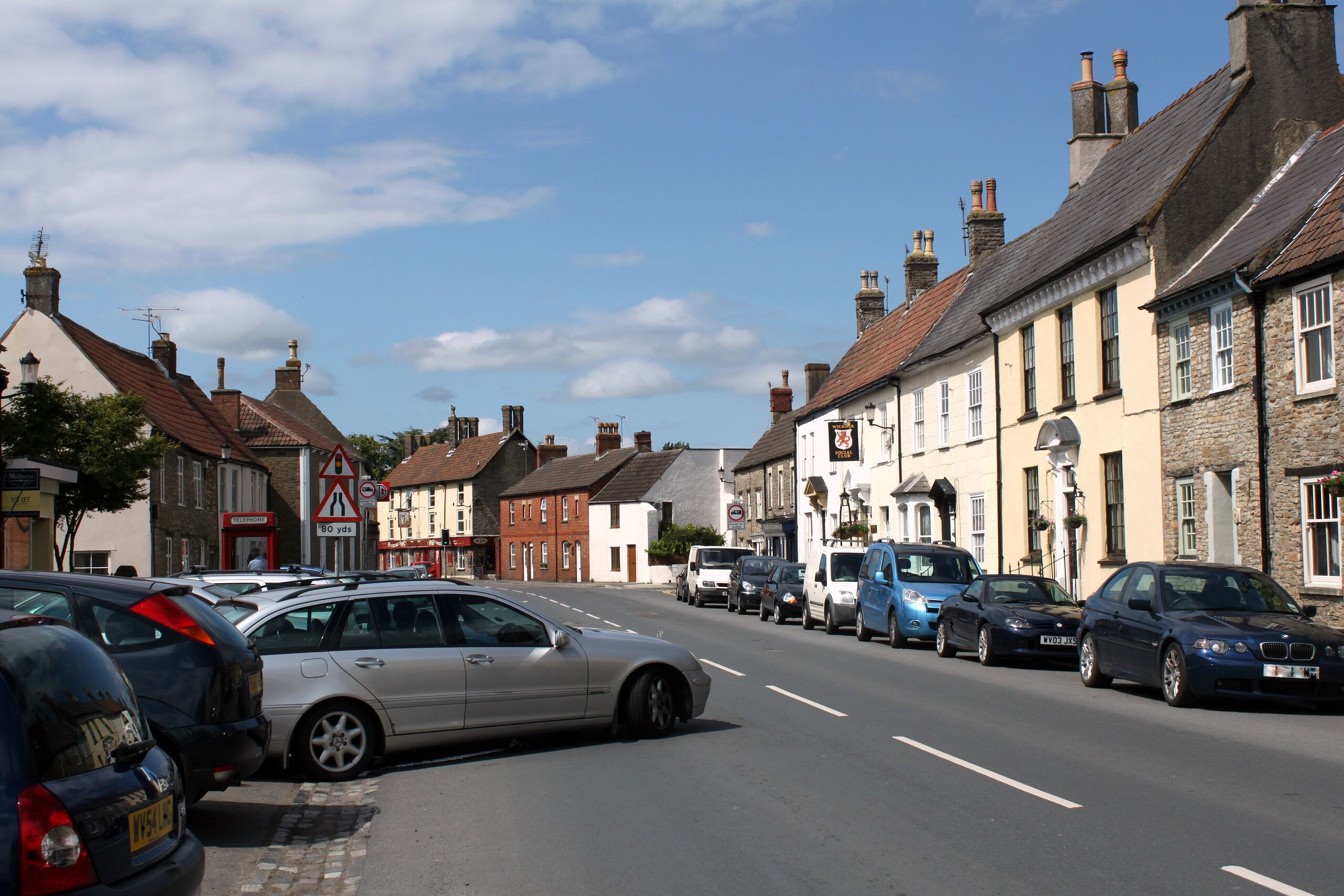
English: 2011 : B4060 Wickwar High Street,
|
| ⧼wm-license-information-date⧽ | 2011 |
| ⧼wm-license-information-source⧽ | From geograph.org.uk; transferred by User:Skinsmoke using geograph_org2commons. |
| ⧼wm-license-information-author⧽ | Maurice Pullin |
| ⧼wm-license-information-permission⧽ (⧼wm-license-information-permission-reusing-text⧽) |
Creative Commons Attribution Share-alike license 2.0 |
| ⧼wm-license-cc-attribution⧽ (قالب:I18n/Credit line) |
Maurice Pullin / 2011 : B4060 Wickwar High Street / |
قالب:Location dec قالب:Object location
ترخيص
تاريخ الملف
اضغط على زمن/تاريخ لرؤية الملف كما بدا في هذا الزمن.
| زمن/تاريخ | صورة مصغرة | الأبعاد | مستخدم | تعليق | |
|---|---|---|---|---|---|
| حالي | ★ مراجعة معتمدة 03:59، 7 أكتوبر 2023 | | 4٬752 × 3٬168 (4٫22 ميجابايت) | Pastakhov (نقاش | مساهمات) | Upload https://upload.wikimedia.org/wikipedia/commons/4/46/2011_-_B4060_Wickwar_High_Street_-_geograph.org.uk_-_2525258.jpg |
لا يمكنك استبدال هذا الملف.
وصلات
لا يوجد صفحات تصل لهذه الصورة.