ملف:2007 01 23 - 29@Randolph-CherryHill - Aerial 02 (north is bottom-right).JPG

حجم هذه المعاينة: 800 × 600 بكسل. البعد الآخر: 2٬592 × 1٬944 بكسل.
الملف الأصلي (2٬592 × 1٬944 بكسل حجم الملف: 1٫04 ميجابايت، نوع MIME: image/jpeg)
| ⧼wm-license-information-description⧽ |
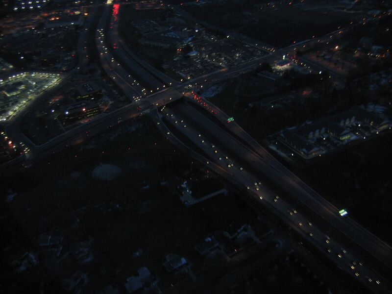
English: US 29 (Columbia Pike) at Randolph Road / Cherry Hill Road, Fairland, MD, USA
|
| ⧼wm-license-information-date⧽ | 2007 |
| ⧼wm-license-information-source⧽ | ⧼Wm-license-own-work⧽ |
| ⧼wm-license-information-author⧽ | Andrew Bossi |
| ⧼wm-license-information-permission⧽ (⧼wm-license-information-permission-reusing-text⧽) |
Own work, share alike, attribution required (Creative Commons CC-BY-SA-2.5) |
.JPG¶ms=39_3_53.6_N_76_57_33.1_W_heading:WSW)
تاريخ الملف
اضغط على زمن/تاريخ لرؤية الملف كما بدا في هذا الزمن.
| زمن/تاريخ | صورة مصغرة | الأبعاد | مستخدم | تعليق | |
|---|---|---|---|---|---|
| حالي | ★ مراجعة معتمدة 15:13، 26 ديسمبر 2023 | | 2٬592 × 1٬944 (1٫04 ميجابايت) | Pastakhov (نقاش | مساهمات) | Upload https://upload.wikimedia.org/wikipedia/commons/a/aa/2007_01_23_-_29%40Randolph-CherryHill_-_Aerial_02_%28north_is_bottom-right%29.JPG |
لا يمكنك استبدال هذا الملف.
وصلات
لا يوجد صفحات تصل لهذه الصورة.
.JPG&oldid=3845405)