ملف:.00 2119 Errera-Kanal - Antarktis.jpg
حجم هذه المعاينة: 800 × 531 بكسل. البعد الآخر: 2٬500 × 1٬660 بكسل.
الملف الأصلي (2٬500 × 1٬660 بكسل حجم الملف: 3٫68 ميجابايت، نوع MIME: image/jpeg)
وصف قصير
| ⧼wm-license-information-description⧽ |
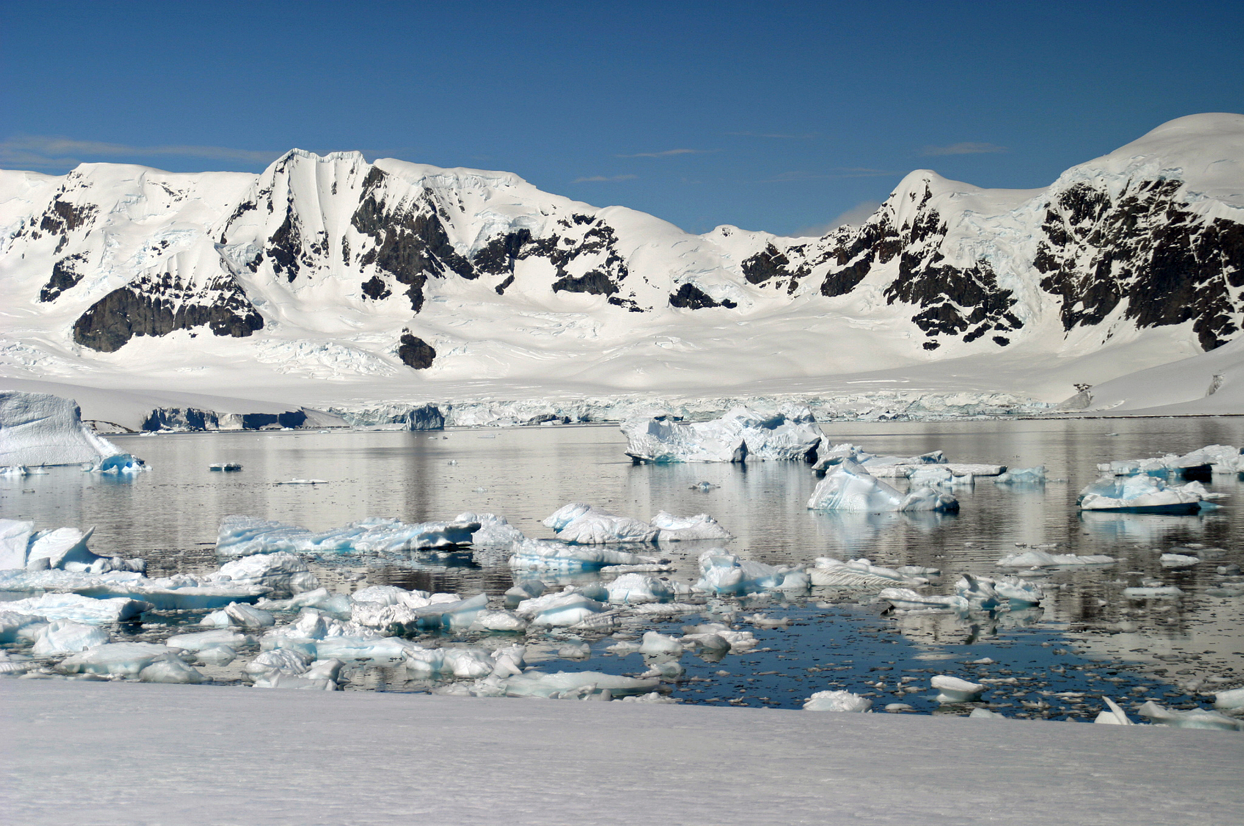
Deutsch: Treibeis im Errera-Kanal, eine Meerenge im Norden der Antarktischen Halbinsel zwischen der Rongé-Insel und der Danco-Küste.
English: Drift ice in the Errera Channel, a strait in the north of the Antarctic Peninsula between Rongé Island and the Danco Coast.
|
| ⧼wm-license-information-date⧽ | 2005, {{time}} – invalid date format 57 (help) |
| ⧼wm-license-information-source⧽ | ⧼Wm-license-own-work⧽ |
| ⧼wm-license-information-author⧽ | W. Bulach |
64°42′20″S 62°02′32″W / 64.705431°S 62.042219°W
ترخيص
|
تاريخ الملف
اضغط على زمن/تاريخ لرؤية الملف كما بدا في هذا الزمن.
| زمن/تاريخ | صورة مصغرة | الأبعاد | مستخدم | تعليق | |
|---|---|---|---|---|---|
| حالي | ★ مراجعة معتمدة 11:28، 10 نوفمبر 2023 | | 2٬500 × 1٬660 (3٫68 ميجابايت) | Pastakhov (نقاش | مساهمات) | Upload https://upload.wikimedia.org/wikipedia/commons/3/38/.00_2119_Errera-Kanal_-_Antarktis.jpg |
لا يمكنك استبدال هذا الملف.
وصلات
لا يوجد صفحات تصل لهذه الصورة.