ملف:错戳龙.jpg
لا توجد دقة أعلى متوفرة.
错戳龙.jpg (800 × 533 بكسل حجم الملف: 46 كيلوبايت، نوع MIME: image/jpeg)
وصف قصير
| ⧼wm-license-information-description⧽ |
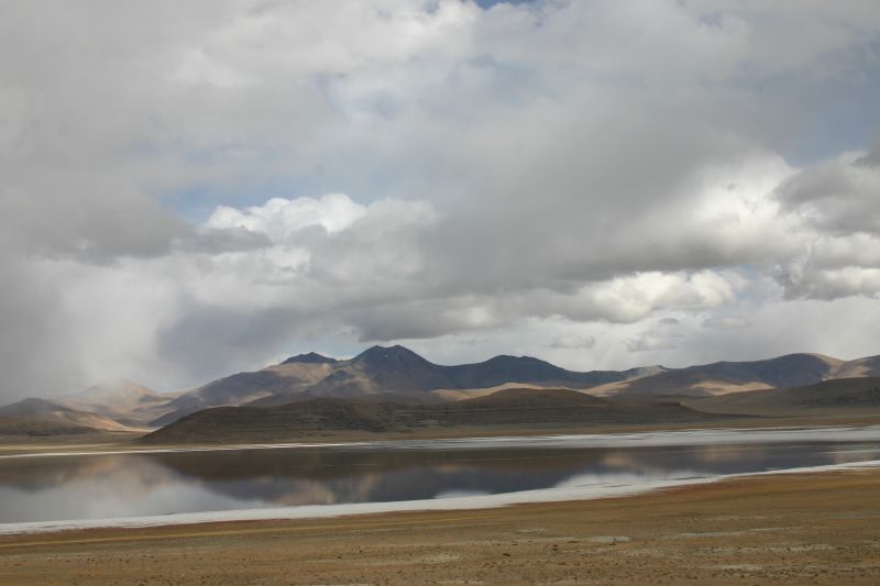
English: Tso Drolung / Co Cholung صينية: 错戳龙
|
| ⧼wm-license-information-date⧽ | قالب:Taken on |
| ⧼wm-license-information-source⧽ | https://www.flickr.com/photos/martinamor/289287705/ |
| ⧼wm-license-information-author⧽ | Nicolai Bangsgaard |
29°06′32.51″N 85°22′58.37″E / 29.1090306°N 85.3828806°E قالب:Location estimated
- Notes about location estimate
- The contours of the mountains in the background can matched with photos from Chinese tourists on the internet. (example)
- The rest is simply find the location along the road where the peaks align in PeakFinder
ترخيص
تاريخ الملف
اضغط على زمن/تاريخ لرؤية الملف كما بدا في هذا الزمن.
| زمن/تاريخ | صورة مصغرة | الأبعاد | مستخدم | تعليق | |
|---|---|---|---|---|---|
| حالي | ★ مراجعة معتمدة 09:53، 9 ديسمبر 2023 | | 800 × 533 (46 كيلوبايت) | Pastakhov (نقاش | مساهمات) | Upload https://upload.wikimedia.org/wikipedia/commons/c/c8/%E9%94%99%E6%88%B3%E9%BE%99.jpg |
لا يمكنك استبدال هذا الملف.
وصلات
لا يوجد صفحات تصل لهذه الصورة.