ملف:Wetzlas - Luftaufnahme.JPG
حجم هذه المعاينة: 800 × 546 بكسل. البعدان الآخران: 2٬560 × 1٬747 بكسل | 3٬800 × 2٬593 بكسل.
الملف الأصلي (3٬800 × 2٬593 بكسل حجم الملف: 8٫38 ميجابايت، نوع MIME: image/jpeg)
وصف قصير
| ⧼wm-license-information-description⧽ |
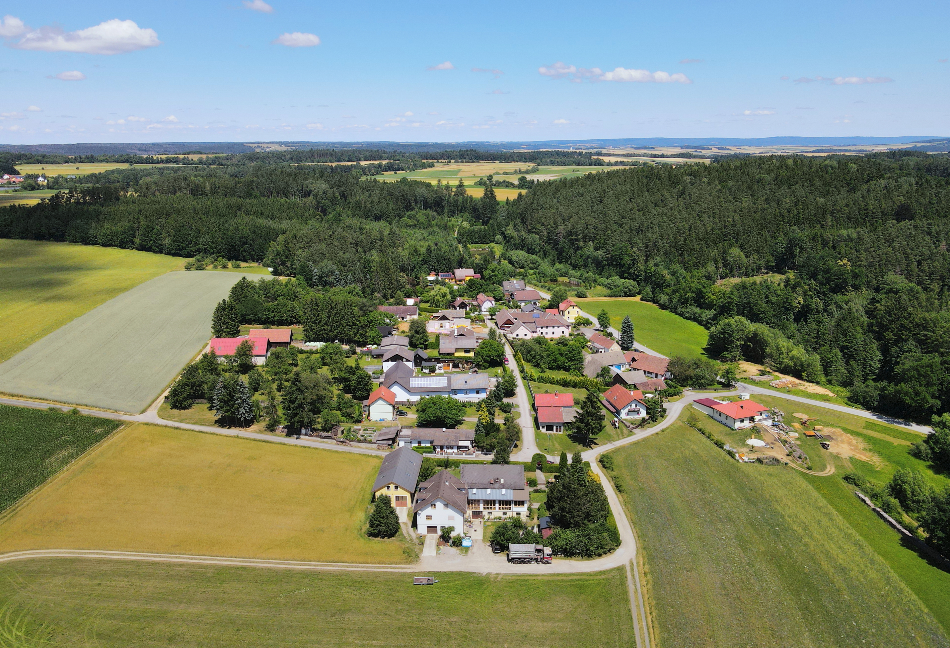
Deutsch: Luftaufnahme der Ortschaft Wetzlas in der niederösterreichischen Marktgemeinde Pölla.
English: Aerial view of Wetzlas, Lower Austria.
|
| ⧼wm-license-information-date⧽ | 2021 |
| ⧼wm-license-information-source⧽ | ⧼Wm-license-own-work⧽ |
| ⧼wm-license-information-author⧽ | C.Stadler/Bwag |
| ⧼wm-license-information-permission⧽ (⧼wm-license-information-permission-reusing-text⧽) |
قالب:Object location dec 48°36′14″N 15°23′54″E / 48.60383°N 15.39833°E
ترخيص
|
تاريخ الملف
اضغط على زمن/تاريخ لرؤية الملف كما بدا في هذا الزمن.
| زمن/تاريخ | صورة مصغرة | الأبعاد | مستخدم | تعليق | |
|---|---|---|---|---|---|
| حالي | ★ مراجعة معتمدة 01:33، 30 أكتوبر 2023 | | 3٬800 × 2٬593 (8٫38 ميجابايت) | Pastakhov (نقاش | مساهمات) | Upload https://upload.wikimedia.org/wikipedia/commons/e/e9/Wetzlas_-_Luftaufnahme.JPG |
لا يمكنك استبدال هذا الملف.
وصلات
لا يوجد صفحات تصل لهذه الصورة.