ملف:Western Connecticut incorporated and unincorporated areas Greenwich highlighted.svg

حجم معاينة PNG لذلك الملف ذي الامتداد SVG: 800 × 600 بكسل. البعد الآخر: 2٬560 × 1٬920 بكسل.
الملف الأصلي (ملف SVG، أبعاده 1٬200 × 900 بكسل، حجم الملف: 884 كيلوبايت)
وصف قصير
| ⧼wm-license-information-description⧽ |
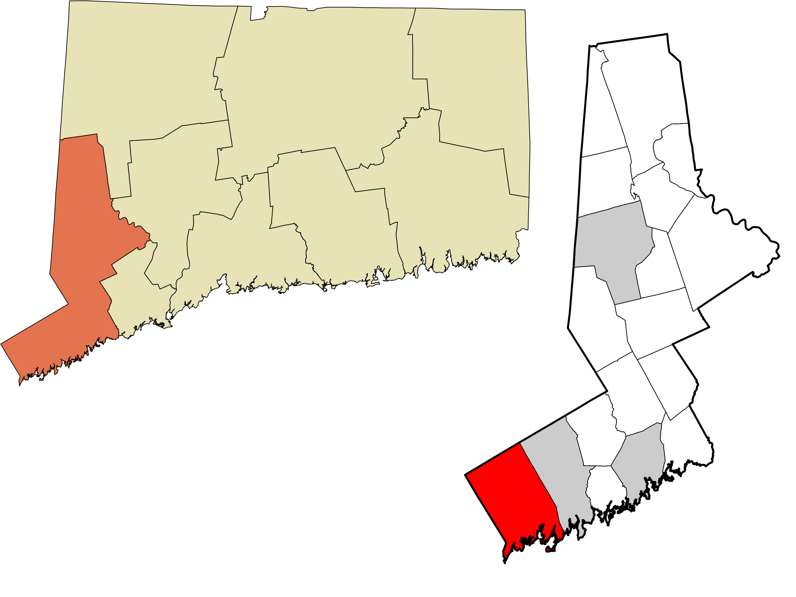
English: Map showing the location of this town within the Western Connecticut Region, a planning region and county-equivalent of the U.S. state of Connecticut. Data source: the United States Census Bureau and File:Connecticut planning region map, cb 500k.svg. Made with Mapshaper (EPSG:2234) and Notepad++.
|
| ⧼wm-license-information-date⧽ | 2023 |
| ⧼wm-license-information-source⧽ | ⧼Wm-license-own-work⧽ |
| ⧼wm-license-information-author⧽ | Twotwofourtysix |
ترخيص
تاريخ الملف
اضغط على زمن/تاريخ لرؤية الملف كما بدا في هذا الزمن.
| زمن/تاريخ | صورة مصغرة | الأبعاد | مستخدم | تعليق | |
|---|---|---|---|---|---|
| حالي | ★ مراجعة معتمدة 16:25، 6 أكتوبر 2023 | | 1٬200 × 900 (884 كيلوبايت) | Pastakhov (نقاش | مساهمات) | Upload https://upload.wikimedia.org/wikipedia/commons/1/13/Western_Connecticut_incorporated_and_unincorporated_areas_Greenwich_highlighted.svg |
لا يمكنك استبدال هذا الملف.
وصلات
لا يوجد صفحات تصل لهذه الصورة.