ملف:West Mediterranean sea topographic map.svg

حجم معاينة PNG لذلك الملف ذي الامتداد SVG: 800 × 402 بكسل. البعد الآخر: 2٬560 × 1٬286 بكسل.
الملف الأصلي (ملف SVG، أبعاده 812 × 408 بكسل، حجم الملف: 1٫11 ميجابايت)
| ⧼wm-license-information-description⧽ |
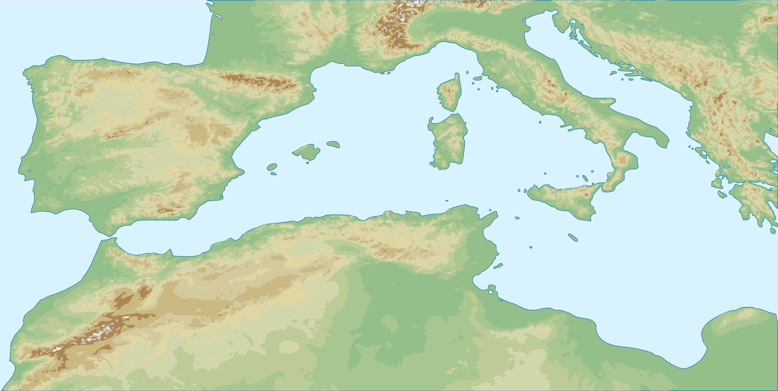
English: Topographic map of Western Mediterranean Sea Français : Carte topographique de l'Ouest de la Mer Méditerranée
|
||
| ⧼wm-license-information-date⧽ | 2010-03-23 22:48 (UTC) | ||
| ⧼wm-license-information-source⧽ |
|
||
| ⧼wm-license-information-author⧽ |
|
||
| ⧼wm-license-information-other-versions⧽ |
|

قالب:Original upload log
This image is a derivative work of the following images:
- File:Western_Europe_DEMIS_topographic_map.svg licensed with Cc-by-sa-3.0,2.5,2.0,1.0, GFDL
- 2010-03-23T22:36:20Z Pethrus 1090x778 (2176592 Bytes) {{Information |Description={{fr|1=[[:fr:Ariane Ascaride|Ariane Ascaride]], [[:fr:Juliette Binoche|Juliette Binoche]], [[:fr:Alain Resnais|Alain Resnais]] et [[:fr:Agnès Jaoui|Agnès Jaoui]] à la cérémonie des césars}} |S••
تاريخ الملف
اضغط على زمن/تاريخ لرؤية الملف كما بدا في هذا الزمن.
| زمن/تاريخ | صورة مصغرة | الأبعاد | مستخدم | تعليق | |
|---|---|---|---|---|---|
| حالي | ★ مراجعة معتمدة 07:07، 26 يناير 2024 | | 812 × 408 (1٫11 ميجابايت) | Pastakhov (نقاش | مساهمات) | Upload https://upload.wikimedia.org/wikipedia/commons/f/ff/West_Mediterranean_sea_topographic_map.svg |
لا يمكنك استبدال هذا الملف.
وصلات
لا يوجد صفحات تصل لهذه الصورة.