ملف:West MacDonnell National Park.JPG
حجم هذه المعاينة: 800 × 600 بكسل. البعد الآخر: 1٬024 × 768 بكسل.
الملف الأصلي (1٬024 × 768 بكسل حجم الملف: 876 كيلوبايت، نوع MIME: image/jpeg)
وصف قصير
| ⧼wm-license-information-description⧽ |
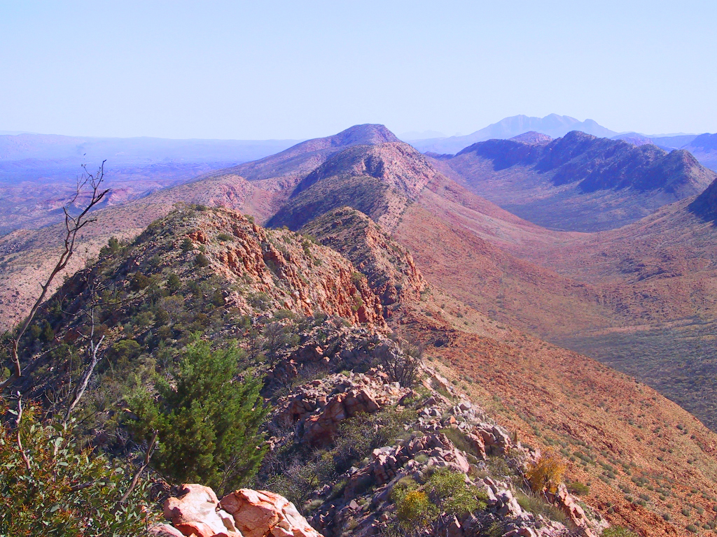
View along the West MacDonnell Ranges from Counts Point on the Larapinta Trail. Mount Sonder, one of the higherst mountains in the Northern Territory, is in the background. |
| ⧼wm-license-information-date⧽ | 2004 (according to Exif data) |
| ⧼wm-license-information-source⧽ | No machine-readable source provided. Own work assumed (based on copyright claims). |
| ⧼wm-license-information-author⧽ | No machine-readable author provided. Boticario assumed (based on copyright claims). |
ترخيص
Uploaded at en: by Felix Dance.
تاريخ الملف
اضغط على زمن/تاريخ لرؤية الملف كما بدا في هذا الزمن.
| زمن/تاريخ | صورة مصغرة | الأبعاد | مستخدم | تعليق | |
|---|---|---|---|---|---|
| حالي | ★ مراجعة معتمدة 10:06، 22 أكتوبر 2023 | | 1٬024 × 768 (876 كيلوبايت) | Pastakhov (نقاش | مساهمات) | Upload https://upload.wikimedia.org/wikipedia/commons/9/9c/West_MacDonnell_National_Park.JPG |
لا يمكنك استبدال هذا الملف.
وصلات
لا يوجد صفحات تصل لهذه الصورة.