ملف:Vue aérienne de Roxton Pond - 2.jpg
حجم هذه المعاينة: 800 × 533 بكسل. البعدان الآخران: 2٬560 × 1٬705 بكسل | 5٬334 × 3٬553 بكسل.
الملف الأصلي (5٬334 × 3٬553 بكسل حجم الملف: 15٫37 ميجابايت، نوع MIME: image/jpeg)
وصف قصير
| ⧼wm-license-information-description⧽ |
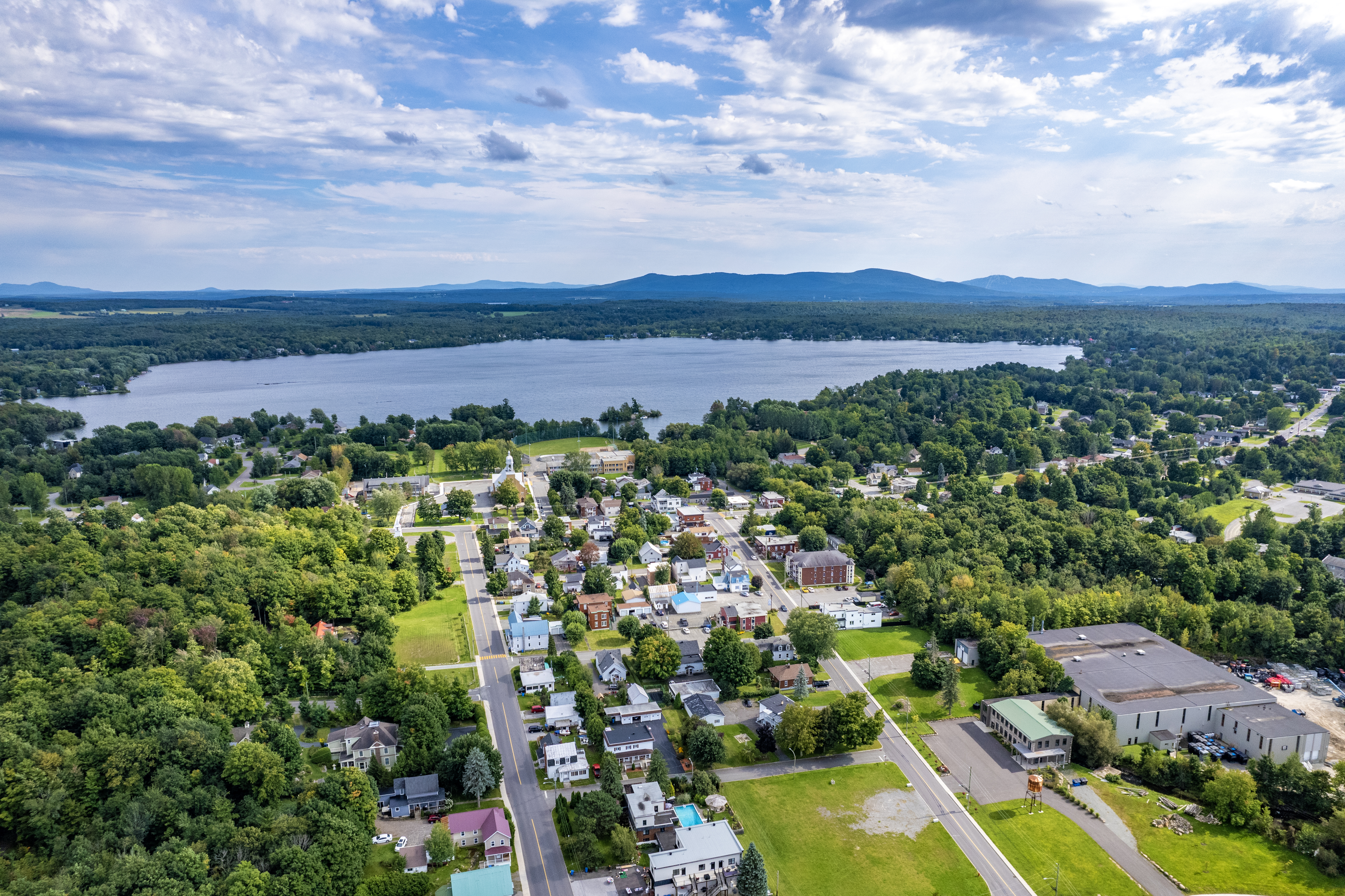
Français : Vue aérienne de Roxton Pond, Québec.
English: Aerial view of Roxton Pond, Quebec.
|
| ⧼wm-license-information-date⧽ | 2023 |
| ⧼wm-license-information-source⧽ | ⧼Wm-license-own-work⧽ |
| ⧼wm-license-information-author⧽ | Gabriel Picard |
45°28′45″N 72°38′46″W / 45.479139°N 72.646001°W
ترخيص
|
تاريخ الملف
اضغط على زمن/تاريخ لرؤية الملف كما بدا في هذا الزمن.
| زمن/تاريخ | صورة مصغرة | الأبعاد | مستخدم | تعليق | |
|---|---|---|---|---|---|
| حالي | ★ مراجعة معتمدة 07:01، 9 نوفمبر 2023 | | 5٬334 × 3٬553 (15٫37 ميجابايت) | Pastakhov (نقاش | مساهمات) | Upload https://upload.wikimedia.org/wikipedia/commons/b/be/Vue_a%C3%A9rienne_de_Roxton_Pond_-_2.jpg |
لا يمكنك استبدال هذا الملف.
وصلات
لا يوجد صفحات تصل لهذه الصورة.