ملف:Vlasotince town centre1.jpg
حجم هذه المعاينة: 800 × 559 بكسل. البعد الآخر: 1٬024 × 716 بكسل.
الملف الأصلي (1٬024 × 716 بكسل حجم الملف: 578 كيلوبايت، نوع MIME: image/jpeg)
وصف قصير
42°57′58″N 22°07′43″E / 42.96611°N 22.12861°E
| ⧼wm-license-information-description⧽ |
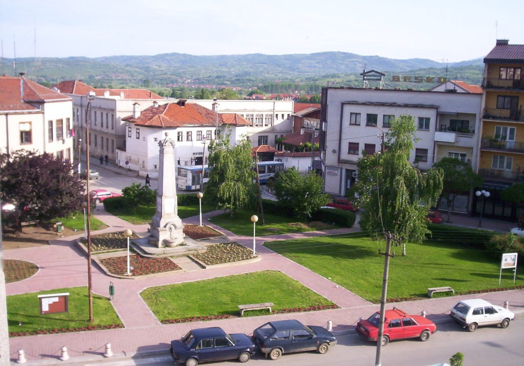
Vlasotince, south-east Serbia, town centre, town center, WW I monument, former Turkish administrative building, Ottoman Empire fortification, museum . |
| ⧼wm-license-information-date⧽ | |
| ⧼wm-license-information-source⧽ | ⧼Wm-license-own-work⧽ |
| ⧼wm-license-information-author⧽ | Vl |
The WW I monument is in the middle (a little bit on the left side). Behind it you see the the former Turkish administrative building, an Ottoman Empire fortification, now a museum for local history.
ترخيص
|

تاريخ الملف
اضغط على زمن/تاريخ لرؤية الملف كما بدا في هذا الزمن.
| زمن/تاريخ | صورة مصغرة | الأبعاد | مستخدم | تعليق | |
|---|---|---|---|---|---|
| حالي | ★ مراجعة معتمدة 02:14، 28 أكتوبر 2023 | | 1٬024 × 716 (578 كيلوبايت) | Pastakhov (نقاش | مساهمات) | Upload https://upload.wikimedia.org/wikipedia/commons/3/3e/Vlasotince_town_centre1.jpg |
لا يمكنك استبدال هذا الملف.
وصلات
لا يوجد صفحات تصل لهذه الصورة.