ملف:Vista aérea de Paranapiacaba 2.jpg
حجم هذه المعاينة: 800 × 600 بكسل. البعدان الآخران: 2٬560 × 1٬920 بكسل | 3٬968 × 2٬976 بكسل.
الملف الأصلي (3٬968 × 2٬976 بكسل حجم الملف: 5٫12 ميجابايت، نوع MIME: image/jpeg)
وصف قصير
| ⧼wm-license-information-description⧽ | |
| ⧼wm-license-information-date⧽ | 2018, {{time}} – invalid date format 46 (help) |
| ⧼wm-license-information-source⧽ | ⧼Wm-license-own-work⧽ |
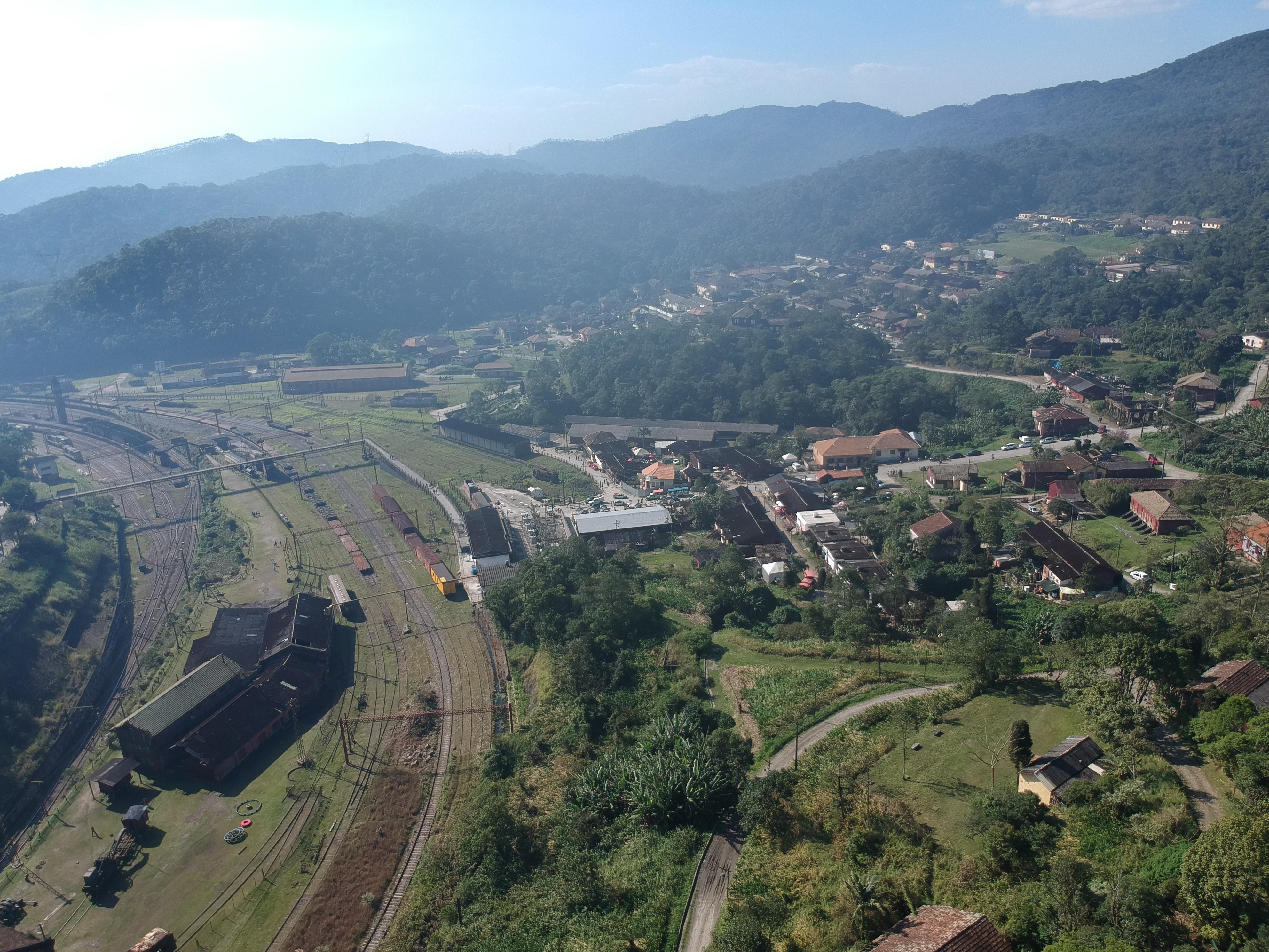
| ⧼wm-license-information-author⧽ | Igor Rando |
23°46′51″S 46°18′11″W / 23.780833°S 46.303056°W
ترخيص
|
تاريخ الملف
اضغط على زمن/تاريخ لرؤية الملف كما بدا في هذا الزمن.
| زمن/تاريخ | صورة مصغرة | الأبعاد | مستخدم | تعليق | |
|---|---|---|---|---|---|
| حالي | ★ مراجعة معتمدة 09:24، 14 ديسمبر 2023 | | 3٬968 × 2٬976 (5٫12 ميجابايت) | Pastakhov (نقاش | مساهمات) | Upload https://upload.wikimedia.org/wikipedia/commons/5/5e/Vista_a%C3%A9rea_de_Paranapiacaba_2.jpg |
لا يمكنك استبدال هذا الملف.
وصلات
لا يوجد صفحات تصل لهذه الصورة.