ملف:Uludağ from plane.jpg

حجم هذه المعاينة: 800 × 466 بكسل. البعد الآخر: 2٬974 × 1٬732 بكسل.
الملف الأصلي (2٬974 × 1٬732 بكسل حجم الملف: 1٫01 ميجابايت، نوع MIME: image/jpeg)
وصف قصير
| ⧼wm-license-information-description⧽ |
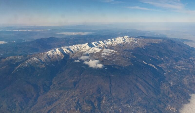
Français : Vue aérienne de l'Uludağ et de la ville de Bursa (à l'arrière-plan à droite).
English: Aerial view of Uludağ and of the city of Bursa (in the background on the right).
|
| ⧼wm-license-information-date⧽ | 2023 |
| ⧼wm-license-information-source⧽ | ⧼Wm-license-own-work⧽ |
| ⧼wm-license-information-author⧽ | GrandEscogriffe |
| ⧼wm-license-information-other-versions⧽ |
40°06′N 29°24′E / 40.1°N 29.4°E
ترخيص
|
تاريخ الملف
اضغط على زمن/تاريخ لرؤية الملف كما بدا في هذا الزمن.
| زمن/تاريخ | صورة مصغرة | الأبعاد | مستخدم | تعليق | |
|---|---|---|---|---|---|
| حالي | ★ مراجعة معتمدة 01:01، 4 نوفمبر 2023 | | 2٬974 × 1٬732 (1٫01 ميجابايت) | Pastakhov (نقاش | مساهمات) | Upload https://upload.wikimedia.org/wikipedia/commons/b/bb/Uluda%C4%9F_from_plane.jpg |
لا يمكنك استبدال هذا الملف.
وصلات
لا يوجد صفحات تصل لهذه الصورة.