ملف:Ugbrooke House and its park - geograph.org.uk - 1364109.jpg
لا توجد دقة أعلى متوفرة.
Ugbrooke_House_and_its_park_-_geograph.org.uk_-_1364109.jpg (640 × 480 بكسل حجم الملف: 80 كيلوبايت، نوع MIME: image/jpeg)
وصف قصير
| ⧼wm-license-information-description⧽ |
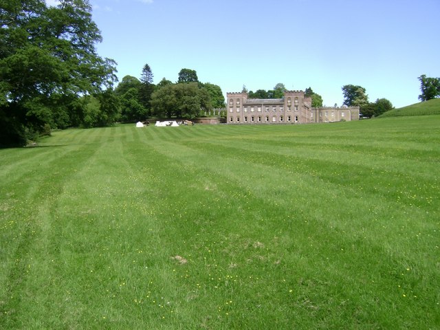
English: Ugbrooke House and its park The tents represented a 17th century encampment, one of the displays laid on for the garden opening in aid of lifeboats.
|
| ⧼wm-license-information-date⧽ | 2009 |
| ⧼wm-license-information-source⧽ | From geograph.org.uk |
| ⧼wm-license-information-author⧽ | Robin Stott |
| ⧼wm-license-cc-attribution⧽ (قالب:I18n/Credit line) |
Robin Stott / Ugbrooke House and its park / |
50°35′29″N 3°35′35″W / 50.5913°N 3.593°W قالب:Object location
_heading:90)
ترخيص
{
تاريخ الملف
اضغط على زمن/تاريخ لرؤية الملف كما بدا في هذا الزمن.
| زمن/تاريخ | صورة مصغرة | الأبعاد | مستخدم | تعليق | |
|---|---|---|---|---|---|
| حالي | ★ مراجعة معتمدة 02:00، 6 أكتوبر 2023 | | 640 × 480 (80 كيلوبايت) | Pastakhov (نقاش | مساهمات) | Upload https://upload.wikimedia.org/wikipedia/commons/5/58/Ugbrooke_House_and_its_park_-_geograph.org.uk_-_1364109.jpg |
لا يمكنك استبدال هذا الملف.
وصلات
لا يوجد صفحات تصل لهذه الصورة.